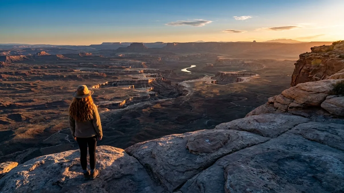
Which canyon gives you the thousand-foot walls without the shuttle queue? Any of them. That is the whole answer, and the rest of this is the part that decides which one you can actually reach this year.
The belief you arrive with is that the walls, the slots and the river bottoms belong to one place, and that getting them costs you a shuttle line, a timed entry and corridor trails carrying thousands of hikers a day from March through October. The turn is simple: the scale is not owned by a single canyon. Walls run to 1,500 ft, slots close to four feet apart, a river bottom sits 2,000 ft down, and the trailheads hold a dozen cars at most.
The South Rim is crowded because one canyon holds all of the scale in one place. Spread that scale across six states and the entry is rationed by a permit quota, a creek crossing or a washboard road instead of a bus.
So you pick by season and by how much paperwork you will tolerate, and you know the miles, the gain, the permit, the water and the drive-in before you commit a trip. Same wow. Half the crowds.
Quick Tips Before You Start
Carry 3–4 liters
Ten of these twelve routes have no reliable water. Plan on 3–4 liters per person and a pre-8 a.m. start on exposed routes.
Check the agency
Permit, fee and closure details change yearly. Check the managing agency's official page the week before you go.
Flash floods are real
For any slot canyon, check the forecast the morning of the hike. There is no high ground out of the canyon.
Map the trailhead
Put the trailhead name, not the canyon name, into your map app. Some are 25 miles down washboard roads.
Know your scramble
A 12-foot scramble or a fixed rope changes who can do a route. Read the entry before you commit.
1. The Narrows: Zion’s River Between the Walls
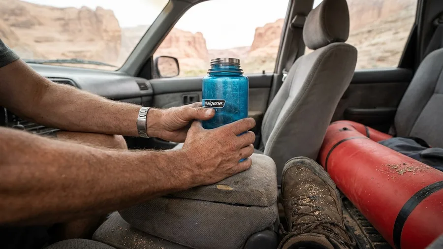
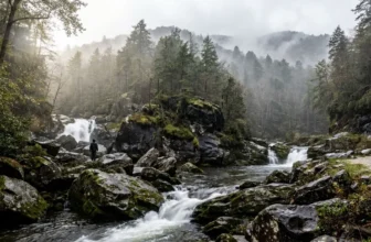
The sound arrives before the cold does: a low grind of river over cobble, echoing off walls you cannot see the top of, and then the shock of 55-degree water around your shins. You are not walking beside the Virgin River in Zion, you are walking in it.
From the Temple of Sinawava shuttle stop it is 4 miles out and back, no permit, no line – walls rising toward 1,000 ft, water at knee and then waist, and no dry path anywhere along the way. Most of the crowd solves itself around mile 1.5, where the stream deepens and the first real soaking separates the waders from the posers. If you want the full corridor, the through-route is 16 miles top-down on a Zion wilderness permit. Bottom-up, the costs are a $35 vehicle entrance and a $0 shuttle ride. Check the flash-flood forecast the morning you go: there is no high ground anywhere out of that canyon, and no permit on earth changes the weather.
💡 Tip: Rent neoprene socks and a wooden hiking staff from a Springdale outfitter for about $25. The staff is the difference between a confident crossing and a fall.
| Canyon and route | Round trip | Elevation gain | Permit or fee | Best months | Crowds vs. South Rim corridor |
|---|---|---|---|---|---|
| The Narrows (bottom-up), Zion | 4 mi | Minimal | $35/vehicle park entrance | Mar–May, Sep–Nov | Heavy near shuttle stop, thins past 1.5 mi |
| Buckskin Gulch, Utah | 6 mi or 13 mi | Low | BLM permit for through-hike | Apr–Jun, Sep–Oct | Very light |
| Peek-a-Boo & Spooky, Escalante | 3.5 mi | 600 ft | Free self-issue | Apr–Jun, Sep–Oct | Light |
| Little Wild Horse, San Rafael Swell | 8 mi | 700 ft | None | Mar–May, Sep–Nov | Light |
| Chesler Park Loop, Canyonlands | 11 mi | 1,200 ft | Park entrance; backcountry permit for overnight | Mar–May, Sep–Oct | Quota-limited, light |
| Gunnison Route, Black Canyon | 2 mi | 1,800 ft | Free permit, limited daily | Jun–Sep | Very light |
| White House Ruin, Canyon de Chelly | 2.5 mi | 600 ft | Park entrance fee | Apr–Oct | Light |
| Santa Elena Canyon, Big Bend | 1.7 mi | Short climb | Park entrance fee | Nov–Mar | Light |
| Lighthouse Trail, Palo Duro | 5.7 mi | 600 ft | State park day pass | Mar–May, Sep–Nov | Moderate, book ahead |
| Canyon Trail, Waimea | 3.4 mi | 1,200 ft | State park fees | Year-round, best May–Sep | Moderate at viewpoints |
| Cathedral Gorge, Nevada | 2 mi | Minimal | State park day-use fee | Mar–May, Sep–Nov | Very light |
| Painted Canyon, North Dakota | 1.5 mi | 300 ft | Park entrance fee | May–Sep | Busiest at visitor center, empties after 4 p.m. |
2. Buckskin Gulch: The Longest Slot in the Southwest
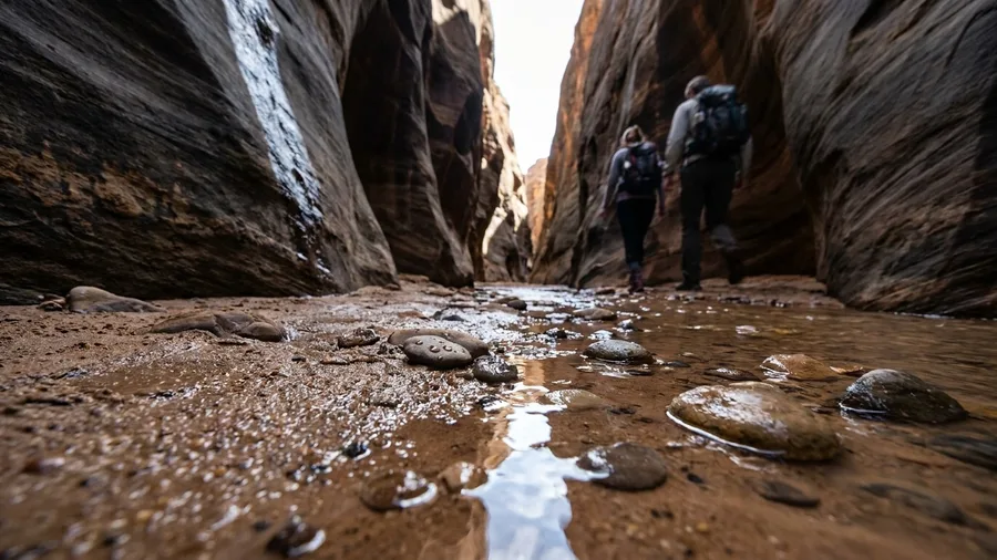
Eight and a half miles. That is how much washboard you drive on House Rock Valley Road before you take a single step, and when the road is wet it stops being a road at all – the first test of Buckskin Gulch is your tires.
From Wire Pass, you can walk 6 miles out and back to the confluence of the Paria for a day, or commit to 13 miles through to White House, which needs a BLM permit picked up in person at the Paria Contact Station rather than booked through a reservation screen. Inside, the walls run about 100 ft high and often 4 ft apart: your pack comes off, your shoulders turn sideways, and you spend stretches shuffling through a corridor of stone the width of a doorway. Four feet is still a hike. It is just a slower one, and that is the whole answer to how narrow a canyon gets before it stops qualifying. After 10 a.m. there is no shade and no water – carry every liter you will drink, because the canyon will not give you one.
3. Peek-a-Boo and Spooky: Escalante’s Slot Loop
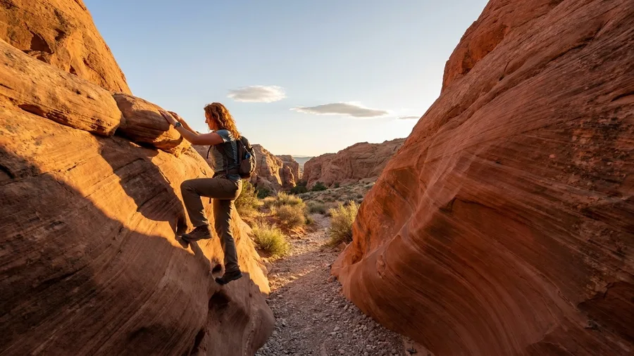
You heave yourself up a 12-ft wall of sandstone, find a foothold, and pull – and then you are inside Peek-a-Boo, in a cool red corridor of swooping rock where the echo of your own breath sounds close.
The Dry Fork trailhead sits 26 miles down Hole-in-the-Rock Road from Escalante, and the washboard drive is the price of all that quiet; the crowd here is a handful of parked cars, not a bus queue. The loop is 3.5 miles with 600 ft of gain, threading two adjacent slots of very different character. The 12-ft scramble into Peek-a-Boo is the one move that ends some hikers’ day before it starts – fit but inexperienced is the right fit here, first canyon ever is not. A free self-issue permit at the trailhead is the only paperwork; the bureaucracy is a pen. Go clockwise, start early, and stay out altogether if rain appears anywhere in the forecast.
4. Little Wild Horse Canyon: San Rafael Swell’s Free Slot
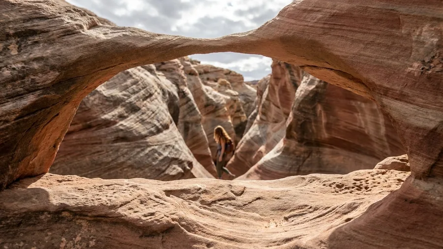
Little Wild Horse is a slot you can hike on a trip you planned last week, because nothing rations it: no permit, no fee, no quota, the trailhead five miles off I-70 near Goblin Valley Road and paved to the last mile.
Walk the 8-mile loop that pairs it with Bell canyon and you climb about 700 ft; if daylight is short, a 2-mile out-and-back still puts you in the narrows. The walls pinch to 4 to 6 ft, so you turn sideways and keep moving rather than stop and gawk, and the parking area rarely holds more than a dozen cars. On the ledger the bureaucracy is zero and the water is zero, which means you carry it: 3 to 4 liters per person, boots on the trail before 8 a.m. The clock is the only thing you spend.
💡 Tip: Walk the loop counter-clockwise so the tightest section comes early. If the slot feels too crowded, turn around at the first wide spot and you'll have the narrows to yourself on the way back.
💡 PRO TIP
The Permit That Saves Your Trip
For any route on Navajo Nation land — including Canyon de Chelly — you may not leave the trail or enter side canyons without a Navajo guide. Book the guide before you book the hotel, not after.
5. Chesler Park Loop: Canyonlands Without the Line
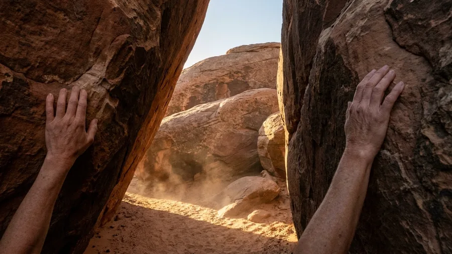
Chesler Park is the canyon hike to spend a whole day on, because the day is the point – and the reason is a quota, not a distance from town.
The Needles district of Canyonlands sits about 40 miles southwest of Moab, and the road in ends at Elephant Hill, where the trailhead lot is small enough that a busy morning still looks quiet. That quiet is administered: the Park Service caps how many people get into the backcountry here each day, so the emptiness you walk into was decided weeks ago by somebody with a reservation screen. A loop of roughly 11 miles and 1,200 vertical feet leaves from that lot. If you want the reward without the full day, a cutoff through the Joint Trail trims it to about 6 miles, but you trade the wide approach for a shorter one.
The approach is grassland and red spires, open and bright, before the trail drops into the Joint – a mile-long corridor where the walls close to shoulder width and you walk a slot between boulders the size of houses. That is what the mileage buys.
Day hikers pay only the park entrance fee at the gate; anyone sleeping out needs a backcountry permit, which is a separate line and a separate quota. There is no water anywhere on the route, so carry 4 liters per person and top off at the Needles ranger station before you drive to the trailhead – after that station there is nothing to treat and nothing to drink.
Add up the ledger: the permit count is the highest bureaucracy cost on this list, and it buys the one thing you cannot get by starting earlier or driving farther – a canyon floor with nobody else’s voice in it. If you have a full day and a reservation made in advance, this is the one.
The Ledger: Ranked by Bureaucracy
6. Black Canyon of the Gunnison: Colorado’s Steepest Walls
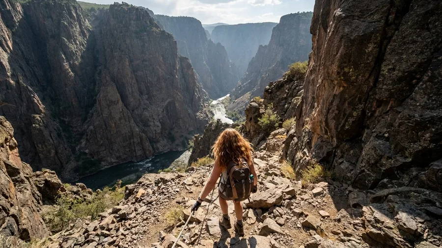
Do not judge Black Canyon by the rim. The Gunnison Route drops a mile down 1,800 vertical feet, and the rope fixed at the top is there because the first stretch is genuinely a scramble, not a walk. Get that wrong and you will be the person the ranger has to talk down at dusk. For travelers who want more of that rush, adventure bucket list items range from canyons to ice caves.
The park hands out a free permit at the visitor center for this descent, and rations it to a handful of people a day – so the crowd at the bottom is a product of paperwork, not luck. The payoff is a canyon that bottoms out near 2,000 feet and squeezes to as little as 40 feet at the river, which makes it steeper, darker and emptier than anything the South Rim will show you. If scrambling feels like too much, the North Vista Trail to Exclamation Point gives you the drama in 3 miles round trip without the exposure.
Go June through September and go early. The route is loose rock the whole way down, and the return is all lungs – the descent taxes your quads, the climb taxes everything else – so budget the clock by your knees, not by a shuttle schedule. Water goes down with you and comes back up with you, and the ranger station is the last place to fill. The permit costs nothing but is not automatic: check the current window and the daily cap at the visitor center before you build a day around it.
💡 Tip: Ask the visitor center about the route's current condition when you pick up your permit. The fixed rope is inspected, but loose rock changes the descent from week to week.
Two Ways to See the Same Canyon
Rim overlook (the easy version)
- Drive to a paved viewpoint, walk 50 feet
- No permit, no water carry
- Works for a non-hiking companion
- You see the canyon, not the inside of it
Trail into the canyon (the real version)
- Descend 600–1,800 feet to the floor
- Carry 3–4 liters and plan the climb out
- Requires a permit on some routes
- You feel the scale in your legs, not just your eyes
7. Canyon de Chelly: Ruins Under a 1,000-Foot Rim
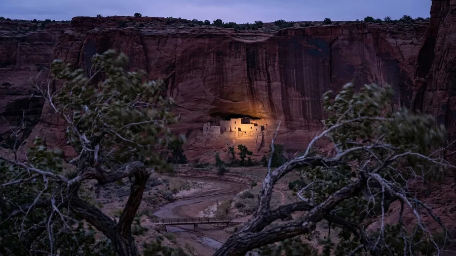
Yes, on exactly one path in Canyon de Chelly, and the reason there is only one is the whole story. The canyon is not a park you roam; it is Navajo Nation land with families living in it, so the map is drawn by permission rather than by quota, and the trail is a corridor, not a network.
The White House Ruin Trail leaves the South Rim south of Chinle and drops 600 ft over 2.5 miles round trip. At the bottom, across a footbridge over the wash, you stand beneath 800-ft cliffs looking up at a farmstead that was built and lived in around a thousand years ago, its walls still carrying the marks of the hands that laid them. The canyon itself has been occupied for some 5,000 years, and you are looking at the latest hard evidence of that, not at a reconstruction.
That is what the park entrance fee at the visitor center buys: the only self-guided trail in a canyon that holds millennia of dwellings. Every other chapter of the canyon, the ones with the bigger ruins and the deeper silence, is closed to you on foot unless you hire a Navajo guide. The rule is not a suggestion and the rangers enforce it, so budget the day around a single out-and-back rather than endless side trips. For a non-hiking companion, the South Rim Drive’s nine overlooks deliver the scale from the car and cost nothing beyond the same entrance fee.
The trade you make here is a land rule instead of a rationed permit, the way the steepest high-country routes trade quota for gradient. The bureaucracy is one fee and one clear boundary I will not test. The water cost barely exists: two liters covers the climb out, and the descent means you carry it down and haul it back up. The clock costs about two hours, most of it on the return, because a 600-ft gain is small until you are 6,000 ft above sea level and breathing hard.
For mixed company this is the cheapest big view in the set. The hikers walk down and stand under the ruin, the non-hikers drive the rim and photograph it from above, and you all eat lunch in Chinle by one o’clock for less than the price of a shuttle bus ticket to the South Rim. Buy your entry at the visitor center, check in, and take the trail before the morning heats the walls; there is shade in the cottonwoods near the bottom, and almost none on the climb.
8. Santa Elena Canyon: Big Bend’s Wall of Water
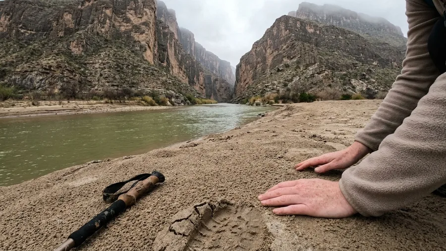
Canyon de Chelly asks for a rim drive and a land rule to get its monument; Santa Elena gives you the same 1,500-ft wall for 1.7 miles round trip and one wet creek. It is the biggest rock per step of walking anywhere on this list, and the entrance fee is the only ticket. From the mouth of the canyon the walls close over the Rio Grande, and the river that separates two countries runs under your feet the whole way.
The day costs one morning: an hour’s drive from the Chisos Basin, the wet crossing of Terlingua Creek, a short switchback up the shoulder, and a beach at the canyon’s mouth that is yours alone if you get there before 9 a.m. Come November through March. In summer the heat passes 100°F by noon and the wall stops being shelter. After the walk, get a plate of tamales at the study butte side of the park, around $12 to $15, and call the trip done. Two hours of canyon, one meal, back by lunch.
💡 Tip: Bring water shoes for the Terlingua Creek crossing. It's usually ankle-deep, but after a rain it can run waist-high and fast.
⚠️ COMMON MISTAKE
The Forecast Is Not a Suggestion
In a slot canyon there is no high ground. If rain is in the forecast anywhere upstream, skip the hike. A flash flood can arrive from a storm you never see.
9. Palo Duro’s Lighthouse Trail: The Second-Biggest Canyon
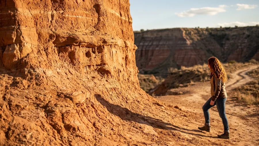
Palo Duro is a real canyon, not a scenic ditch: 120 miles long and 800 ft deep, cut into the Texas panhandle near Amarillo, and you can walk it without a creek crossing or a single exposed step. That wide, graded trail is exactly what makes it the answer for a family that will not scramble.
The Lighthouse Trail runs 5.7 miles round trip and 600 ft of gain to a 75-ft hoodoo standing clear of the canyon wall, and the surface is honest dirt the whole way. The catch is upfront: no shade and no water on route, so start at sunrise with 3 liters per person, and plan the state park entrance per vehicle. Book the day pass online before you go, because the parking lot is the one queue on this list you can beat from your phone. Against the South Rim’s thousands, this canyon sees a fraction of the traffic, and the numbers on the trail hold because of it.
💡 Tip: Book the day pass on the Texas State Parks site at least two days ahead for a spring or fall weekend. Walk-up entry is not guaranteed when the park hits capacity.
10. Waimea Canyon: Hawaii’s Grand Canyon, Minus the Lines
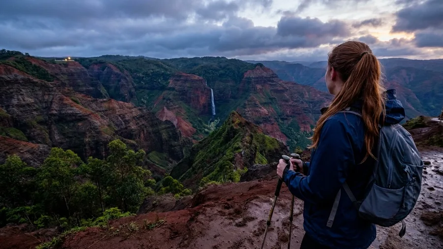
This is the canyon worth a plane ticket, and the fare is the only real gate. No permit, no shuttle, no reservation system – just a state park entrance and parking fee at Kokee, both modest, on top of whatever you paid to get to Kauai. If you flew for the beach and packed boots anyway, this is the day that earns the flight.
The Canyon Trail to Waipo’o Falls runs 3.4 miles round trip with 1,200 ft of gain, following a ridge along the canyon rim to a waterfall dropping about 800 ft. The canyon below you is 10 miles long and around 3,000 ft deep, red and green banded, and it starts 45 minutes up the hill from the Poipu resorts. You leave a parking lot at sea level warmth and step out into cool Kokee air, and the whole thing fits between breakfast and an afternoon swim.
Red clay is the one caution worth carrying. It turns slick as grease after rain, and the ridge has enough drop on the sides that poles are worth packing even if you usually leave them in the car. Viewpoint lots fill by 9 a.m., so treat the early start as part of the route, not an option. On the ledger: the flight is the bureaucracy, the clay is the water hazard, and the clock is a 9 a.m. parking lot – pay all three and the crowds are somebody else’s island.
Waimea Canyon Trail — At a Glance
⛰️ Elevation
Trailhead ~3,600 ft; waterfall rim near 3,000 ft
💧 Water
None on route — carry 3-4 L per person
☀️ Best Season
June-Sept (high-country window)
🎫 Agency
Hawaii State Parks — check current fees/closures
⏰ Start Time
Pre-8 a.m. on exposed sections
Worth the flight
No permit or shuttle lottery — the gate is the airfare, not a reservation system.
11. Cathedral Gorge: Nevada’s Slot Canyons Nobody Visits
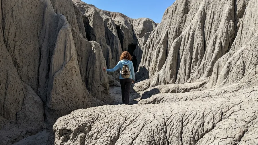
Slot walls you can reach in a car cost a lot less than slot walls you fly to. Cathedral Gorge sits 2.5 hours from Las Vegas on US-93, which makes it an easy stop between Zion and Great Basin rather than a trip of its own – a state park day-use fee per vehicle, camping on site, no permit and no quota.
The walking is the reason to stop. Miller Point and the Juniper Draw loop run about 2 miles through bentonite clay between cathedral spires, the walls bent and fluted into soft grey columns that close in and open out and close again. You will not be queuing for it. On a weekday you may not see another set of footprints.
What separates this from a slot that demands commitment is that you can sit down in it. Bentonite clay gives you ledges and benches, shade holds in the narrowest sections well past the hour the open desert has gone white with heat, and the loop is short enough that doing nothing for a while costs you nothing. Bring lunch, find a shelf out of the sun, and let the spires do the work.
The clay turns to grease when wet – not slippery in the ordinary sense, but slick enough that the ground stops being ground. Do not enter during or after rain, and check the sky before you leave US-93.
On the ledger: the least bureaucracy this side of a free slot, a water carry measured in a single bottle for the loop, and a real slot canyon that fits inside a driving day. Camping on site means you can walk it at first light before the road heats up.
💡 Tip: Walk the slot an hour before sunset. The bentonite walls turn from gray to pink as the light drops, and you'll have the place to yourself.
🚙 From Interstate to Canyon Floor in Four Steps
Check the agency
Find the managing agency's page for permits, fees and closures the week before.
Map the trailhead
Put the trailhead name, not the canyon name, into your map app.
Pack water
Carry 3–4 liters per person and a filter if the route has a reliable source.
Start early
On exposed routes, be walking before 8 a.m. to beat the heat and the lot.
12. Painted Canyon: North Dakota’s Quiet Badlands
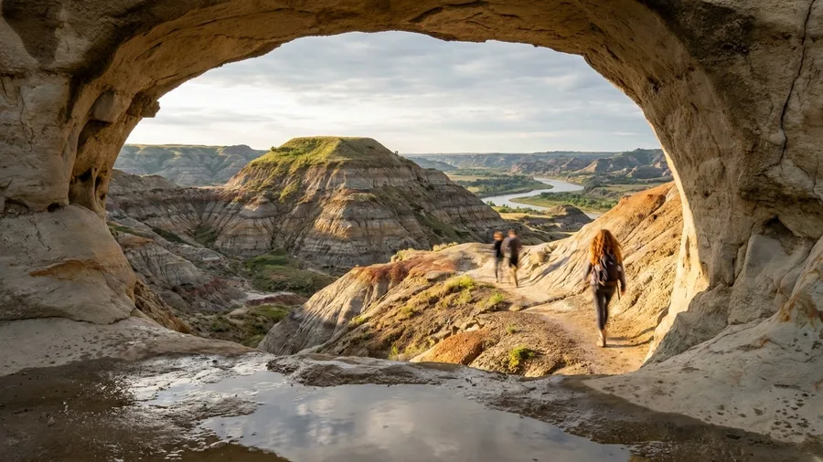
Go before mid-morning or after four, because this loop sits in the open with no shade and the sun is already fierce by noon. The Painted Canyon Nature Trail starts on the south side of the I-94 rest area near the Little Missouri River crossing, climbing roughly 300 ft over 1.5 miles of packed trail to a bench of striped badlands and buttes near 600 ft. Buffalo and wild horses graze the route; give them a wide berth and do not crowd them for a photo.
There is a per-vehicle park fee at the entrance, and the visitor-center lot is the busiest spot; it empties after 4 p.m. The loop is best May through September. On the ledger, the drive-in is the entire story: you park at the rest stop, walk, and get back on the road inside an hour, with no permit line, no quota and no shuttle. When the animals are standing where the trail bends, that is the smallest workable version of the big-canyon view.
Frequently Asked Questions
Do I need a permit for these hikes?
Most do not. Little Wild Horse, Cathedral Gorge and the Peek-a-Boo loop are free or fee-only with no quota. Buckskin Gulch’s through-hike needs a BLM permit, Black Canyon’s Gunnison Route needs a free visitor-center permit, and Chesler Park needs a backcountry permit only if you camp.
What is the best time of year to hike these canyons?
Desert, slot and river routes run March through May and September through November. High-country routes like Black Canyon and Painted Canyon are best June through September. Avoid any slot canyon during monsoon season or after rain.
How much water should I carry?
Plan on 3 to 4 liters per person for any route on this list. Ten of the twelve have no reliable water, and some have none at all. Carry a filter only if the route crosses a perennial stream.
Can I do any of these with kids?
Palo Duro’s Lighthouse Trail is the most family-friendly: wide, no exposure, no scrambling. Santa Elena Canyon is short but has a creek crossing and a climb. Canyon de Chelly’s White House Ruin Trail is short but steep. Skip the slots and the Gunnison Route with young children.
Are these hikes crowded?
Far less than the Grand Canyon’s South Rim corridor, which sees thousands of hikers a day from March through October. The Narrows has a crowd near the shuttle stop but thins past mile 1.5. Most others see a dozen cars at the trailhead on a busy day.
What should I check before I go?
Check the managing agency’s site for current permits, fees and closures. For slot canyons, check the flash-flood forecast the morning of the hike. Put the trailhead name, not the canyon name, into your map app.
Pick by Season and Paperwork, Not by Ranking
There is no best canyon on this list, only the one that fits your season and your patience for bureaucracy. Last-minute trip: take a free, unpermitted slot like Little Wild Horse or Cathedral Gorge, where all you need is a full tank and an early start. Planned trip: go quota-limited with Chesler Park or the Gunnison Route, because the permit is what keeps the crowd small. If you want more options like these, browse hidden canyons in the USA that rival the Grand Canyon.
Let season rule before ambition does. Desert, slot and river routes run March through May and September through November, Black Canyon and Painted Canyon June through September, Santa Elena November through March.
Then do one thing the week before you leave: open the managing agency’s own page, NPS, BLM, Navajo Nation Parks, Hawaii State Parks, Nevada State Parks or Texas State Parks, and confirm the current permit and the flash-flood forecast. Fees and rules change yearly and are not fixed here. And put the trailhead name into your map app, not the canyon name: Wire Pass, Dry Fork, Elephant Hill, White House Ruin, Lighthouse. Which canyon gives you the thousand-foot walls without the shuttle queue? The one whose trailhead you can actually find.
Which Canyon Fits Your Calendar?
Open your calendar, pick your season, and match it to the list above. Then check the agency's page for the one permit you need.