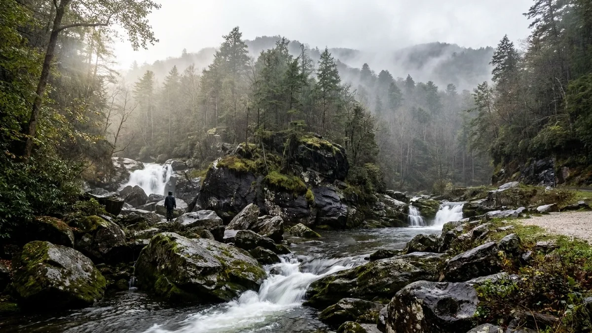
Fourteen waterfalls sit within ninety minutes of Gatlinburg, and the road most visitors never leave holds just a few of them.
You have a car, one day, and a base in Gatlinburg or Pigeon Forge, and US-441 toward Newfound Gap already looks like the whole trip. Turning off does not cost you the day. Little River Road, Cherokee Orchard, Roaring Fork, Greenbrier, Wears Valley, Tremont and Cosby Road put most of these trailheads 15 to 35 minutes from town.
What separates a one-hour pull-off from an eight-mile climb is not fame. It is three figures: the drive, the round-trip miles and gain, and the month the water runs. Meigs Falls and Ramsey Cascades do not belong in the same afternoon.
Read the numbers, pick by the hours you actually have, arrive before 9 am on weekends, and check NPS for closures and parking tags.
Quick Tips Before You Start
Fuel up in Gatlinburg
Gas up and buy water before you leave town; Cosby and Tremont have no services at the trailhead.
Beat the 9 am rush
On weekends, trailhead pull-offs at Spruce Flats, Mouse Creek and Meigs Falls fill by mid-morning.
Check flow after rain
April and May carry the most water; a dry August turns several of these into a trickle.
Check NPS before you drive
Roaring Fork, Greenbrier and Cherokee Orchard roads close without much notice for weather or repairs.
Bring traction
The rocks around every waterfall here stay slick year-round; trail shoes with grip beat sneakers.
Know the parking rule
Some Smokies trailheads now require a parking tag; check the current NPS rules before you go.
1. Grotto Falls: Walk Behind the Water
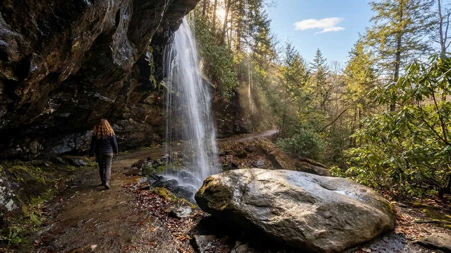
Grotto Falls is the one residents send first-time visitors to, and the reason is simple: you walk behind the falling water. The trail leaves Cherokee Orchard Road and follows the one-way Roaring Fork Motor Nature Trail, 15 to 20 minutes from downtown Gatlinburg, which puts the whole classic Smokies moment inside a half-day rather than across one of the best USA waterfalls worth the hike.
It’s 2.6 miles round trip with 585 feet of gain, and the 25-foot drop isn’t the point. The point is the wet, echoing space between the rock and the curtain of water, and the way the trail threads it while everyone ahead of you slows to a stop. Come in April or early May for the heaviest flow and the wildflowers, or October for leaf color and thinner weekday traffic. On weekends, park before 9 am or you’ll circle the lot. Check the NPS site first: Roaring Fork and the trail both close without much notice, and the one-way road means you commit to the loop once you’re on it.
💡 Tip: The Roaring Fork road is one-way past the trailhead; check NPS for seasonal closures before committing.
| Waterfall | Access road | Round trip | Elevation gain | Best for |
|---|---|---|---|---|
| Grotto Falls | Roaring Fork Motor Nature Trail | 2.6 mi | 585 ft | Families, first-timers |
| Spruce Flats Falls | Tremont Road | 1.8 mi | 400 ft | Short quiet hike |
| Meigs Falls | Little River Road | 0 mi | 0 ft | Roadside stop |
| The Sinks | Little River Road | 0 mi | 0 ft | Quick leg-stretch |
| Place of a Thousand Drips | Roaring Fork Motor Nature Trail | 0 mi | 0 ft | Drive-by after rain |
| Mouse Creek Falls | Greenbrier Road | 4.0 mi | 900 ft | Summer swim plus hike |
| Hen Wallow Falls | Cosby Road | 4.4 mi | 1,100 ft | Crowd-free climb |
| Indian Creek / Toms Branch | Deep Creek Road | 1.2 mi | Minimal | Young kids |
| Juney Whank Falls | Deep Creek Road | 0.8 mi | Minimal | Quick Bryson City add-on |
| Mingo Falls | Big Cove Road | 0.4 mi | 160 steps | Tall payoff, low effort |
| Rainbow Falls | Cherokee Orchard Road | 5.4 mi | 1,500 ft | Half-day climb |
| Abrams Falls | Cades Cove Loop | 5.0 mi | 675 ft | Cades Cove day |
| Ramsey Cascades | Greenbrier Road | 8.0 mi | 2,000 ft | Full-day trek |
| Bald River Falls | Tellico Plains side | 0 mi | 0 ft | Cherokee National Forest day |
2. Spruce Flats Falls: The Quiet Tremont Detour
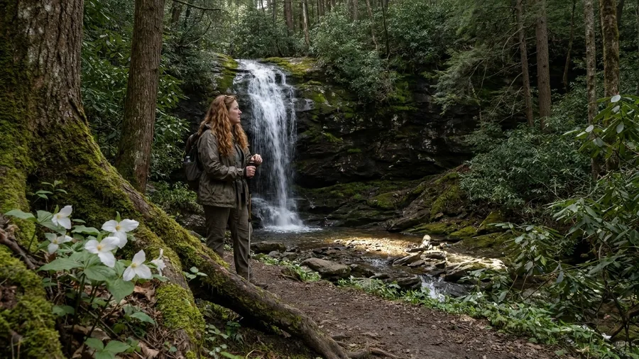
There is, and it’s at Tremont, where you climb 1.8 miles round trip and 400 feet of gain to a compact 30-foot fall, and where the loudest thing you’ll hear is the creek itself. The road in is not US-441; it branches off toward Tremont, roughly 30 minutes from Gatlinburg, and the payoff is a quieter version of the same short hike a lot of people are queuing for up the road.
What you’re likely to see: wildflowers crowding the trail edge in April and May, which is also when the water runs hardest, and mushrooms and ferns on the damp banks farther on. What you’re not likely to see is a crowd, which is the honest draw. Arrive before 9 am on weekends, because the pull-off at Spruce Flats is small and the early start is the only way to guarantee a space.
Give it about 30 minutes each way on the drive and a couple of hours on foot. Check NPS for trail and road closures before you commit, since the Tremont approach is the one place on this side where a closed gate turns the day around.
3. Meigs Falls: A Roadside Stop on Little River Road
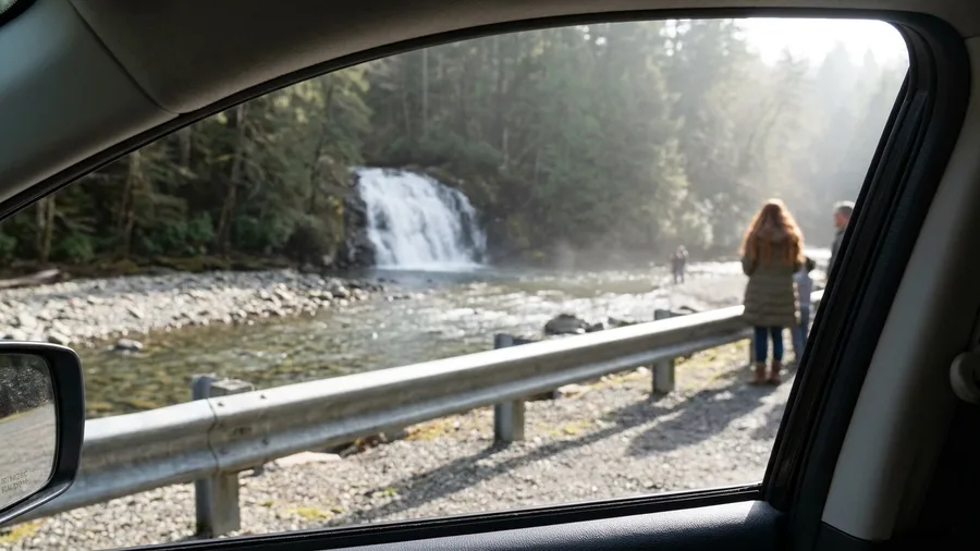
You hear Meigs Falls before you see it from the Little River Road pull-off: a steady, low rush carrying through the open window, louder after rain and nearly gone in a dry spell. That is the whole ask here. No trail, no climb, 15 to 20 minutes from Gatlinburg, and the water in view from the roadside.
Sit for an hour if you want. Bring coffee, put the seat back, and let the river do the work; this is the same limited-time slot that a short hike would eat, spent instead on nothing at all. Travelers with limited mobility get the full view without a step of walking, and April and May bring the most volume.
It’s flow-dependent, so treat it as a bonus after a rainy night rather than a guaranteed spectacle, and arrive before 9 am on weekends because the pull-off is tiny. Check NPS for Little River Road closures and the current parking-tag rules before you drive out.
4. The Sinks: A Roadside Stop With a Strong Current
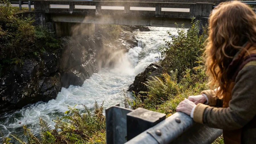
You hear The Sinks before you see the water, a low boom that carries up the bank and over the guardrail.
This is the second pull-off on Little River Road where the waterfall does the work for you, and the tone is different from a viewing stop: the Little River gathers into a narrow chute here and throws itself under the road bridge, loud enough that you raise your voice without noticing. The trailhead is little more than a parking pull-off, 15-20 minutes from Gatlinburg, and the round-trip distance is zero. You park, you walk twenty steps to the rail, you watch.
That bridge rail is the whole experience, and it is enough. The water comes through fast enough to boil white and keep a standing mist in the air, and after heavy rain it is genuinely impressive in a way that has nothing to do with height. April and May give you the most volume for free, and any wet week will do it.
The caution is the point of the stop. People drown at The Sinks, because a chute that looks like a swimming hole is a chute, and the current under that surface will not let you back out where you went in. Treat it as a view, not a swim. If the kids are hot, this is not the place to cool them off.
So the timing matters more than the map. Arrive before 9 am on a weekend and you get the rail, the roar and a parking spot; arrive at 11 and you are circling a small lot on a two-lane road with cars stacked behind you. Give it ten minutes, stretch your legs, listen to it, and get back in the car. Ten minutes of standing at a guardrail is the whole budget. Check NPS for Little River Road closures before you commit the drive.
💡 Tip: Do not let kids or dogs near the water's edge here; the current has caught experienced adults.
Best Roadside Waterfalls for Limited Time
5. Place of a Thousand Drips: The Roaring Fork Trickle
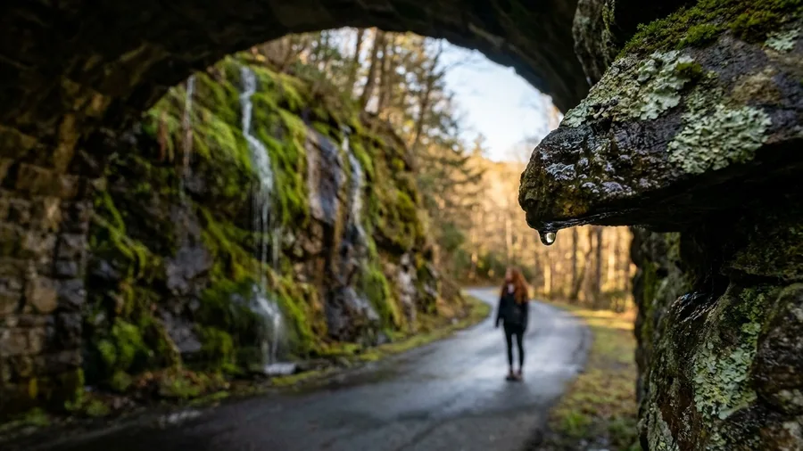
Know before you go that Place of a Thousand Drips may not be dripping at all. In a dry spell it is a stained rock face with a wet seam down the middle, and if you have come for a waterfall you will feel cheated.
After rain, that same seam splits into a dozen thin threads of water sliding down moss, and the name stops being a marketing flourish. It sits right beside the one-way Roaring Fork Motor Nature Trail, 10-15 minutes from Gatlinburg, and you can take it in from the car window or a short pull-off without a step of hiking. This is the Roaring Fork answer for passengers, grandparents and anyone whose knee has already given its notice.
The trade is commitment. Roaring Fork is one-way, so once you turn in you are doing the whole motor trail, and it is worth knowing that going in. April and May give it flow, October gives it leaf color, and a weekend morning before 9 am gives it a road you can actually drive. Check NPS for closures and parking-tag rules before you go.
6. Midnight Hole and Mouse Creek Falls: Greenbrier’s Swim-and-Hike
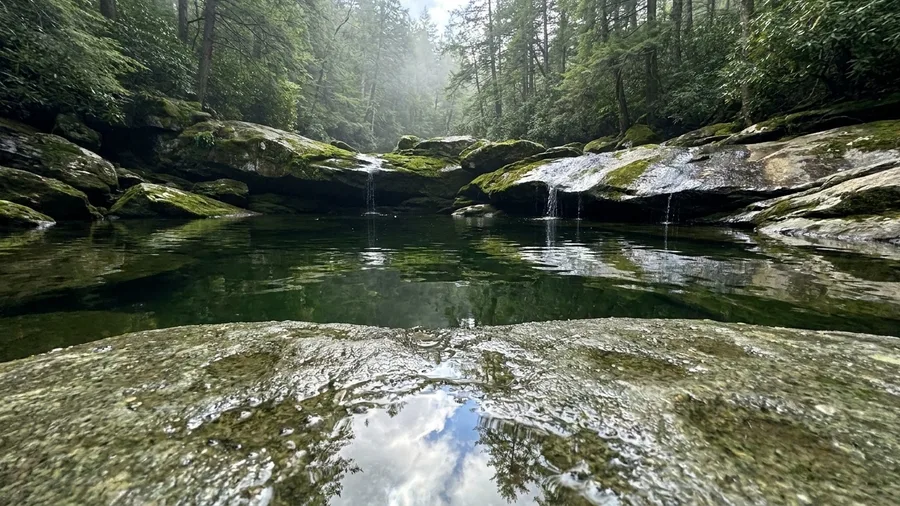
If you want one outing that scratches both the waterfall and the swim, this is the one to build a half day around.
Midnight Hole comes first, about 1.5 miles up the Greenbrier trail, and it is a deep green pool wedged between boulders big enough to jump from. In June, July and August people swim here, and the water is cold in the way that makes you shout. The name is not decoration: the creek funnels into that pool through a notch in the rock, and the light goes flat and green a few feet down.
Keep going and you reach Mouse Creek Falls, a 45-foot drop, at 4.0 miles round trip with roughly 900 feet of gain from the Greenbrier trailhead, about 25 minutes from Gatlinburg on Greenbrier Road. The climb is steady rather than brutal, but it is a climb. April and May give the falls their flow and the roadside its wildflowers, which is the season to come if you care more about the water than the swimming.
The trailhead pull-off is small. That is the whole parking situation, and it is why the advice on this one is 8 am rather than 9. By mid-morning on a summer weekend the roadside is full and the pool has company.
Pick your season and pack for it. Come in June-August with a towel and treat the falls as the second act, or come in April-May for flow and skip the swim. Either way it is a half day, not a stop, and it earns the time. Check NPS closures on Greenbrier Road before you set out.
💡 Tip: Midnight Hole is cold even in August; bring a towel and shoes you can swim in.
⚠️ COMMON MISTAKE
Don't trust a dry-weather photo
Most waterfall photos online were taken in April or after a storm. In late summer, Meigs Falls and Place of a Thousand Drips can be barely running. Check recent rain before you drive out of your way.
7. Hen Wallow Falls: Cosby’s Crowd-Free Climb
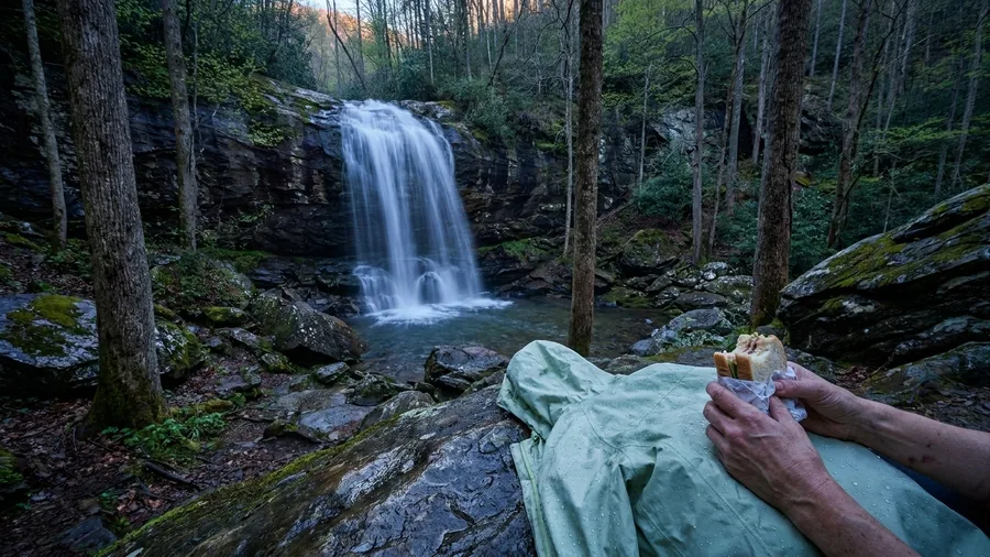
The Greenbrier swim-and-hike asks for 4.0 miles and 900 feet of climbing; Cosby asks for a little more of both and pays you back in quiet. Four-point-four miles round trip, 1,100 feet of gain, and a 90-foot fall at the end, from a trailhead about 35 minutes out of Gatlinburg on Cosby Road. The waterfall is roughly twice the height of the one you just waded under, and you will hear it before you see it.
The climb is steady rather than brutal, and it earns a thinner crowd than anything on the Gatlinburg side. Come in April or May for the heaviest flow, October for leaf color and smaller groups, and on any weekend, aim for the trailhead before 9 am. Later than that and the small lot on the Cosby side starts turning people around.
Cosby has one more thing working for it, and it costs nothing: the drive over is the quietest 35 minutes in this whole plan. You leave the Gatlinburg strip, the traffic thins to nothing, and the road follows the water up into a valley where the loudest thing is the creek. Pack a sandwich and eat it at the falls. Check NPS for closures before you commit, because this side closes without much warning.
8. Deep Creek’s Indian and Toms Branch Falls
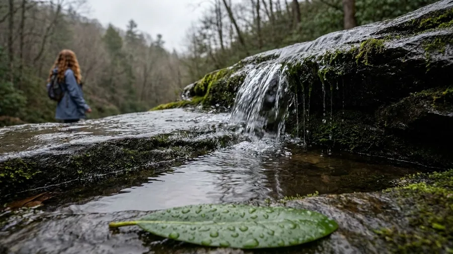
One-point-two miles round trip, two waterfalls, and no admission: that is the entire pitch for the Deep Creek loop. The trailhead sits about 75 minutes from Gatlinburg on the Bryson City side, which is the longest drive in this plan and the reason you should only pick it when the day already points west. When it does, the effort is almost nothing, which is exactly what makes it the family pick.
You walk an easy loop and get Indian Creek Falls and Toms Branch Falls on the same short path. Young kids can do it without being carried, and a mixed-age group can spread out and still regroup at the same junction. In June through August the payoff doubles, because Deep Creek’s swimming holes sit right there and the kids will want an hour in the water after the walk.
April and May bring the best flow, and October brings color with fewer people on the path. On summer weekends, arrive before 9 am or the parking area fills and the swim holes get loud. The trade is simple: a long drive for a low-effort, high-reward half day. Check NPS closures before you go, and treat the swimming holes with the current in mind.
Deep Creek Area — At a Glance
📏 Waterfall heights
Indian 25 ft · Toms Branch 35 ft
➡️ Trailhead to junction
0.4 mi in, then the loop splits
🛤️ Grade
Paved path, then packed dirt — stroller OK to the split
🚻 Facilities
Restrooms and changing rooms at the trailhead lot
⛔ Skip it if
You are based east of Gatlinburg or short on daylight
Skippable stop
If the loop is packed, drive 10 min on to Juney Whank Falls — 0.8 mi, same water, fewer people.
9. Juney Whank Falls: Deep Creek’s Shortest Waterfall
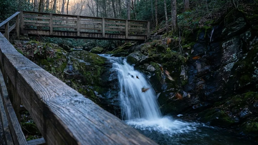
Do Juney Whank as an add-on, not as a destination. It is the shortest waterfall in the Deep Creek area at 0.8 miles round trip, and it shares the same Bryson City trailhead about 75 minutes from Gatlinburg, so tacking it onto the Indian and Toms Branch loop costs you a short walk and nothing else. The fall drops in a narrow chute over dark rock, small and quick, the kind of stop that takes fifteen minutes and photographs better than it sounds.
The 75-minute drive makes it a poor standalone trip and a good extra, so fold it into the same morning. April and May give the strongest flow, October gives color, and summer gives you the swim holes right below. Start before 9 am on weekends and check NPS closures before you commit to the drive.
10. Climb 160 Steps to Mingo Falls
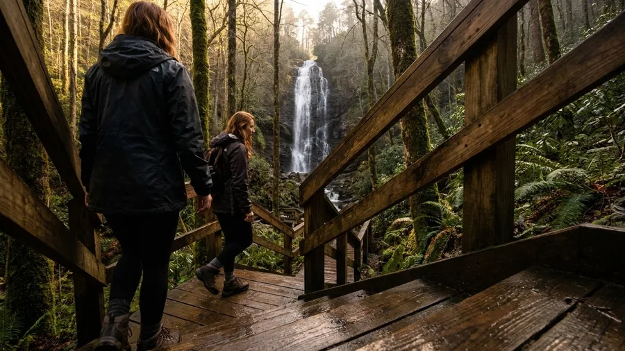
One hundred and sixty steps, and 0.4 miles round trip, to stand under a 120-foot fall. That is the entire price of Mingo Falls, a stop on the Cherokee side of the park about 60 minutes from Gatlinburg, and it is the best trade in the Smokies for anyone who wants a tall waterfall without a tall climb. You climb, you do not hike. The stairs are wood and switchback up a short slope, and at the top the water drops in a thin white column down a rock face streaked dark with wet, taller than anything on the Gatlinburg side of the park.
The catch is the drive, not the walk. Sixty minutes out and sixty back means Mingo earns its place when Cherokee is already on the day’s route, not as a standalone errand from town. Go April and May for the heaviest flow, October for leaf color with fewer people on the stairs, and on a weekend, arrive before 9 am, when the parking area off Big Cove Road is still half empty. Ease on the steps after rain; the wood stays slick and the handrail is there for a reason.
Roadside vs. Trail Waterfalls
Roadside (zero hiking)
- Meigs Falls and The Sinks on Little River Road
- Place of a Thousand Drips on Roaring Fork
- Bald River Falls outside the park
- Best for limited mobility or a tight schedule
- Check flow after rain; dry spells flatten them
Trail (real walking)
- Grotto Falls 2.6 mi, Spruce Flats 1.8 mi
- Mouse Creek 4.0 mi, Hen Wallow 4.4 mi
- Rainbow 5.4 mi, Abrams 5.0 mi
- Ramsey Cascades 8.0 mi for strong hikers
- Start before 9 am to beat parking and heat
11. Rainbow Falls: The Half-Day Climb Above Gatlinburg
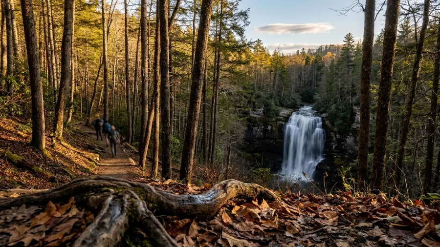
Is a 5.4-mile, 1,500-foot climb worth half a day above Gatlinburg? Yes, if you want elevation rather than scenery from a car window, and you should budget the morning plus a modest lunch, since the parking at Cherokee Orchard Road is a timed-tag affair that fills early. Rainbow Falls is 80 feet, and the climb to it is steady the whole way, never brutal but never flat, so the payoff is earned rather than handed over at a guardrail.
You reach the trailhead in 15 to 20 minutes from town, which makes this the valley’s cruelest temptation: a short drive to the biggest half-day load on the Gatlinburg side. Allow four to five hours from boot to boot, and pick April and May for the weight of water and the wildflowers lining the first mile, or October for leaf color with fewer hikers on the switchbacks. The drive is the cheap part; the miles are the cost. Check NPS for trail and road closures before you commit the morning.
12. Abrams Falls: Cades Cove’s Forest Reward
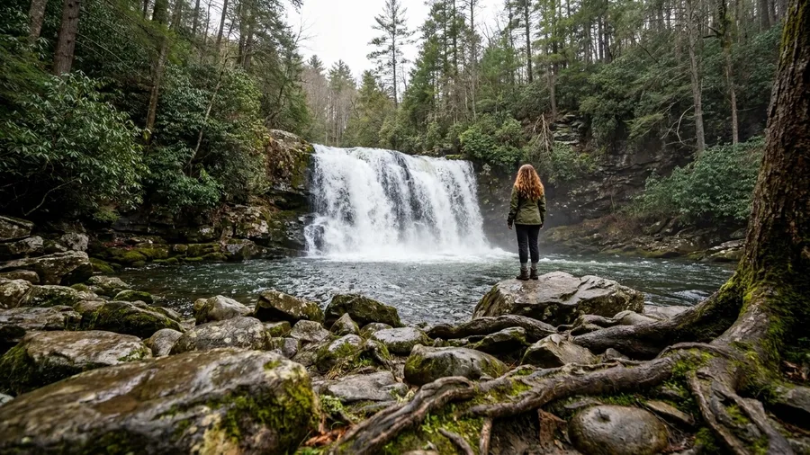
Rainbow Falls asks for 1,500 feet of climbing from Cherokee Orchard, while the walk to Abrams Falls is 5.0 miles with only 675 feet of gain, a gentler proposition that pairs naturally with the Cades Cove loop rather than replacing it. The fall itself is just 20 feet, wide and loud and framed by hemlock and pine, and it rewards you as the end of a valley circuit, not a view from a pull-off. Bring the family, but reserve the day for a Cades Cove day; the drive out there on its own is beside the point.
Start early enough to combine the loop with the walk, since the parking tag applies and the loop backs up by mid-morning. April and May bring flow, October brings color and thinner crowds, and a weekend start before 9 am keeps the trail tolerable. Not for anyone hoping for a tall roadside waterfall or a quick leg-stretch; this is a half-day, boots-on commitment. Check NPS for closures and current parking-tag rules before you go.
Avoid These Smokies Waterfall Mistakes
13. Ramsey Cascades: The Full-Day Old-Growth Trek
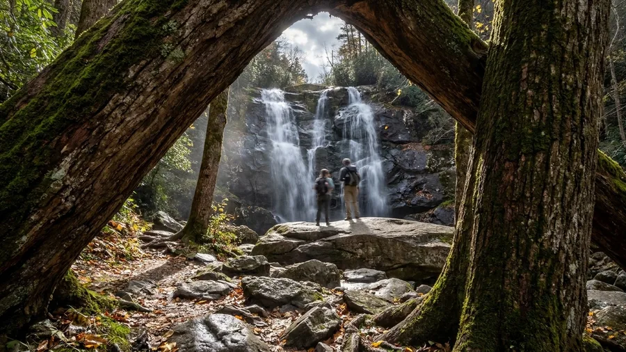
The sound reaches you before the water does — a low, steady roar through hemlock and yellow buckeye, and then the trail bends left and the whole thing is in front of you: 100 feet of water sliding down a dark rock face in three braided strands, throwing mist ten feet into the air, one of the waterfall hikes in the USA worth the miles. Stand on the flat boulder shelf just left of the main drop, maybe 40 feet back, where the spray cools your face and the whole cascade fits in one frame. Late morning light hits it best; by early afternoon the sun clears the ridge and blows out the top half.
Getting there is the cost. The Greenbrier trailhead sits about 25 minutes from Gatlinburg off Greenbrier Road, but the walk itself is 8.0 miles round trip with 2,000 feet of gain — the biggest single climb on any Gatlinburg-side waterfall — and most of it is a steady, unrelenting grade through old-growth forest, past trees several feet across that were standing before the park existed. Budget six to seven hours. Strong hikers with a full day only; anyone with a half day should not start. April and May bring the heaviest flow, October brings leaf color and thinner crowds, and weekends demand a start before 9 am if you want a parking spot. Check NPS for Greenbrier Road closures and current parking-tag rules before you commit.
What a Waterfall Day Actually Costs
14. Bald River Falls: The Outside-the-Park Roadside Giant
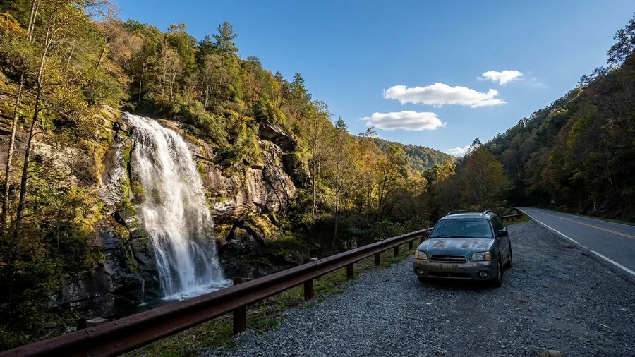
The catch first: this one is about 90 minutes from Gatlinburg, it sits outside Great Smoky Mountains National Park in Cherokee National Forest, and it is not worth a standalone day from your cabin. Treat it as the reward at the end of a day that already goes to Tellico Plains, and it earns its place.
What you get for the drive is 90 feet of water dropping beside the road on the Tellico Plains side, close enough that you hear it from the car and can stand at the base in under a minute. No trail, no round-trip mileage, no climb. For anyone in the group who cannot manage a hike, or for a rainy-day stop when trails are muddy, that zero-effort payoff is the whole point.
Time it for April or May when the flow is heaviest, or October for color on the surrounding ridges, and check Cherokee National Forest conditions rather than park ones — closures and road status here are managed separately. Come after rain and it is a torrent; come in a dry August and it is a thinner curtain. The drive is the decision: make it when Tellico Plains is already on the route, skip it when it is not.
Frequently Asked Questions
Do I need a permit or parking tag for Smokies waterfall trailheads?
Some trailheads now require a parking tag, and the rules change. Check the current NPS page for the specific trailhead before you drive out. The tag is cheap, but the fine for skipping it is not.
Which waterfall is closest to Gatlinburg?
Grotto Falls, Meigs Falls, The Sinks and Place of a Thousand Drips are all within 15 to 20 minutes of downtown Gatlinburg. Grotto is the shortest classic hike at 2.6 miles round trip.
Can I swim at any of these waterfalls?
Midnight Hole on the Mouse Creek trail and the Deep Creek area are the realistic swimming spots, best in June through August. The Sinks has a strong current and is a look-not-swim stop for most visitors.
What is the best month for Smokies waterfalls?
April and May bring the heaviest flow and wildflowers. October trades some water for leaf color and lighter crowds. Summer is best for swimming holes, not for waterfall volume.
How early should I arrive on a weekend?
Be at the trailhead before 9 am. Pull-offs at Spruce Flats, Mouse Creek, Meigs Falls and Rainbow Falls fill early, and there is no overflow parking.
Is Ramsey Cascades worth the full day?
If you are a strong hiker with a full day, yes. The 8.0-mile round trip with 2,000 feet of gain ends at a 100-foot cascade in old-growth forest. If you have half a day, do Rainbow Falls instead.
Three Days, Three Different Waterfall Choices
Sorting the list by the same three numbers is what makes it safe to bet on: drive time, round-trip distance and gain, season. One clear choice per day budget beats collecting falls. With an hour, drive Little River Road to the Meigs Falls pull-off and be there by 8:30 am, ahead of the 9 am weekend crowd. With half a day and kids, take Deep Creek’s Indian and Toms Branch loop – 1.2 miles, about 75 minutes from Gatlinburg, trailhead by 8:30 am.
With a full day and strong legs, Ramsey Cascades from the Greenbrier trailhead, 25 minutes out; start at 7:30 or 8:00 am and carry two liters. US-441 stops mattering once the trailhead is 15 to 35 minutes from town and you know the distance and the gain before you leave. Pick one, arrive before 9 am, check NPS for closures and parking tags, and you spend the day behind the water instead of in the queue.
Pick your trailhead tonight
Open the NPS road status page, check recent rain, and set an 8 am departure for whichever of the fourteen fits your day.