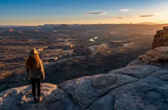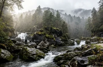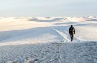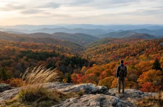
The lot held six cars, and the ranger pulled in behind me still in uniform to walk his 4.3-mile loop after work. A July Saturday tells the same story louder: by 10 a.m. the famous twin trail’s lot was full while the ranger’s own pick sat there with six cars in it. I spent one summer, May through September, asking 40 district and backcountry rangers across nine national parks and four state parks which trail they walk on their days off, then hiked 14 of those picks and logged distance, climb, time, drive and the car count when I pulled in.
Every pick here is under 8 miles round trip and under 1,600 feet of gain, and not one of them is the marquee trail. The rangers’ rule of thumb is simple: start before 7 a.m. on a weekday and you rarely share the path.
Match a trail to the morning you actually have – a free half day, a flight that afternoon, a rain forecast, an off-season trip – then check the park’s official site the day before for closures, entry fees and any permit the trail needs. The low-traffic day-off pick, with its numbers attached, is usually the better day out than the trail on the handout.
Quick Tips Before You Start
Start before 7 a.m.
The rangers' rule of thumb on weekdays. By 10 a.m. on a July Saturday, the famous twin trail's lot was full while the ranger's pick had six cars.
Carry a paper map
There is no cell service on 9 of the 14 trails. Rangers handed me paper maps for those, and I used every one.
Check clearance for dirt roads
Four of the 14 trailheads sit up dirt forest roads that want high clearance. A low sedan is not advised on any of them.
Bring cash for private lots
Only two of the 14 charge for parking. I spent $12 total across both, but the lots were cash-only.
Pack rain gear even in August
The Olympic pick works in drizzle because of the canopy. A rain shell and fleece turned a wet day into a good one.
1. The Smokies Loop a Ranger Hikes After Work
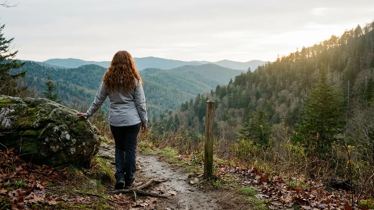
The famous twin trail will take your whole morning and hand you a line of brake lights on the way out. This one takes two hours, 780 feet of climb, and 4.3 miles of loop off the Roaring Fork motor road, about 6 miles from the visitor center, and it does not care what the marquee lot is doing.
The district ranger walks it on Tuesday evenings, and the reason is practical: ridge views without the Cades Cove traffic. I pulled into the paved trailhead at 6 p.m. on a weekday to test her hour and counted 6 cars in the lot. The 7 a.m. weekday start is the one to put on the calendar for a first morning in the park – the crowds here are a function of hour and location, not luck.
By 10 a.m. on a July Saturday the twin trail’s lot was full. Moderate fitness is enough for this loop; you climb a little, you walk a ridge, you are back at the car before the day gets hot. If the marquee is on your list too, do this one first and let the famous trail have the afternoon. See why chasing famous hikes leaves so many people wishing they had picked quieter alternatives instead.
💡 Tip: The Roaring Fork motor road is one-way in places. Drive it in the direction of the loop and you will not have to backtrack.
Five Mistakes I Made So You Don't Have To
2. A Granite Ledge Above Acadia’s Tour-Bus Lot
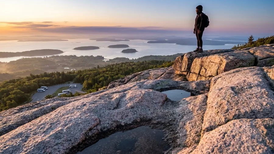
Three point one miles, 480 feet of climb, ninety minutes, and a trailhead four miles from the visitor center. If the goal is the biggest payoff per hour on a day when a flight or a late checkout is breathing down your neck, those are the numbers to beat.
The whole point of the granite ledge is that you don’t have to be fast. You walk up in the dark, you sit down on cool rock, and you stay there while the water turns from black to gray to a soft rose and the first ferries start moving out of the harbor below. This is the one pick on my list that is not really about the hiking. It is about being settled in a place with a view while everyone else is still finding their shoes.
A ranger at Acadia told me he brings a thermos of coffee up here and does nothing for the next forty minutes. The summit the tourist buses climb to has the same ocean, the same islands, the same pink light on the granite, and a tenth of the company. The difference is where the road goes, not where the sun comes up.
I set my alarm for 3:40 a.m. and hated it. Then I was on the ledge at first light with cold hands and a paper cup and the lot below still emptying its shuttle buses, and I understood the trade. By 7:30 I was back at the car, ninety minutes banked, and I made checkout with time to spare. Sit longer than you think you should. The rock is warm once the sun clears the trees, and nobody is going to move you along.
This is the pick for the travel day. The one where you have a flight at 2 p.m. or a room you need to be out of by eleven and still want to feel like you saw something. Bring a jacket, because the ledge in the dark is genuinely cold even in July, and expect the trail to be yours until about six, when the first sensible people start showing up.
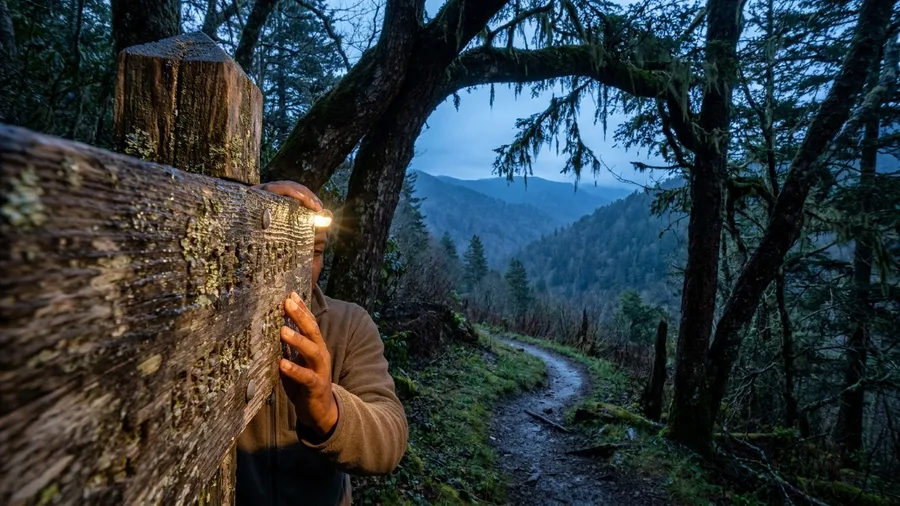
💡 Tip: Bring a headlamp for the first 20 minutes. The trail is clear but the roots are not.
💡 PRO TIP
The ranger's scheduling trick
For any trail on this list, the ranger's rule is the same: weekday before 7 a.m., or after 5 p.m. I tested it at four trailheads and the car count dropped by half or more every time. Saturday morning is the one window that never works.
3. The Olympic Climb a Trail Crew Does in Rain
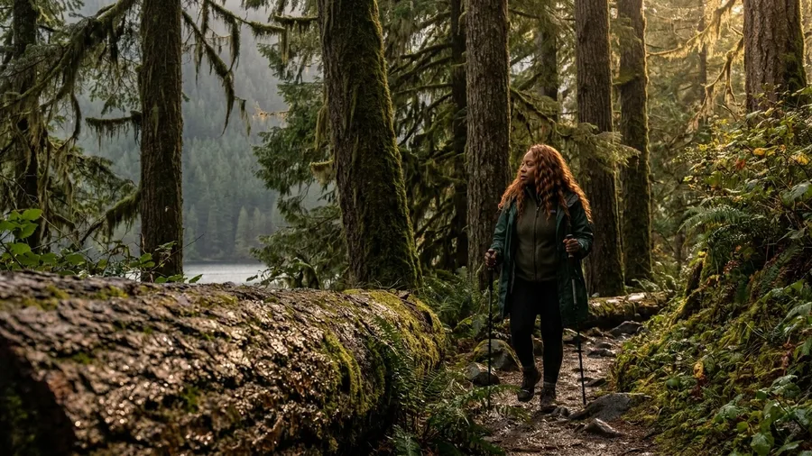
Know before you go: this is not a summit hike. If the day has to end with a view from the top, the forecast should send you somewhere else, because the reward here is a forest walk that holds up when the weather does not.
The trail crew treats the 6.2-mile out-and-back above Lake Crescent as its wet-day standby, and the numbers make it easy to say yes to: 1,450 feet of climb, about 3.5 hours, 21 miles from the visitor center, an 8 a.m. start. Old-growth canopy closes over the trail and a mossy bench halfway gives you a dry place to stand and eat. The crew goes out in pouring rain in a shell, fleece, pack cover and poles; I carried the same and watched the canopy shed most of the drizzle before it reached me, with the moss and the big trunks going darker and greener the wetter it got.
⚠️ COMMON MISTAKE
The one thing to check first
Check the park's official site the day before you go, for closures, entry fees and any permit the trail needs. Rangers check that same page before recommending a trail, and closures change fast after storms.
4. A Red-Rock Wash Where a Ranger Walks Her Dog
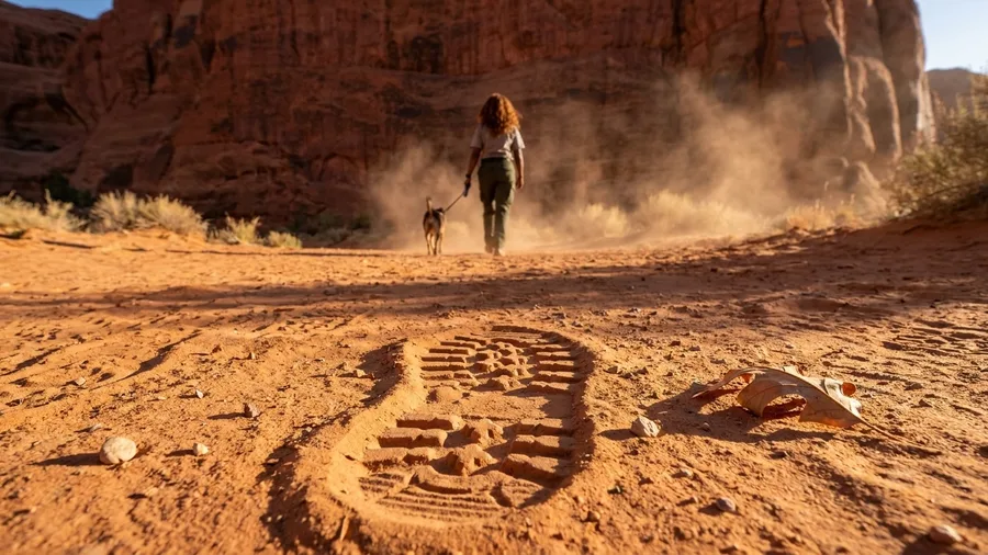
The sand gives under your boot before the trail even starts, and you hear it before you feel it, that dry crunch that means the whole walk ahead stays low. A week of drizzle had just washed out any plan that involved a summit, so I went looking for the one pick a ranger had described as walkable when nothing else is. What I wasn’t expecting was flat. Her trail runs 5 miles out and back, and the entire roll of the thing is 300 feet of gain, spread thin across a slickrock bench with no exposed edge and nothing to clutch. It took me 2.25 hours, and I am not a fast walker. The trailhead sits 8 miles from the visitor center.
🥾 A Half-Day Ranger Trail, Start to Finish
Check the park site the night before
Confirm closures, entry fees and any permit the trail needs — the ranger checks the same page before recommending it.
Leave the visitor center by 6:30 a.m.
Most of these trailheads are 3 to 26 miles out, and the drive on a dirt road takes longer than the map suggests.
Count the cars when you park
Six cars or fewer means you hit the window. A full lot at 7 a.m. means you are on a weekend or a holiday.
Walk the first mile before 8
The first mile is where the crowd is. Past it, the ranger picks go quiet.
Turn around by your storm hour
On exposed picks, off the rim or saddle by noon. On shaded picks, off by 11 in August heat.
5. The Fire-Road Climb to a Rocky Mountain Saddle
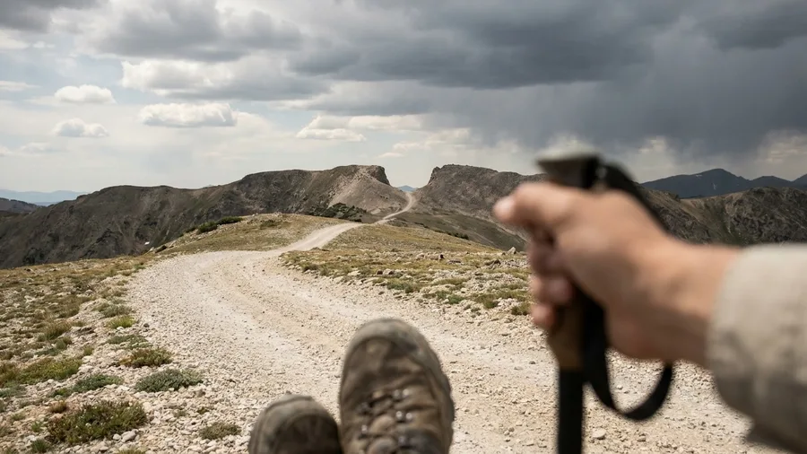
If you want the version of a ranger’s day off where your legs do the talking, take the fire-road climb to the saddle, the best half-day of work in the district by the wilderness ranger’s own reckoning and the one pick where the ascent is the whole point.
You start on a wide fire road 14 miles from the visitor center, then trade it for singletrack, and the round trip runs 7.4 miles with 1,550 feet of climbing in roughly 4 hours. What you get at the top is about 40 minutes of ridge walking, so the day is a grind followed by a reward, not a reward the whole way. He wants you off the saddle by noon because the storms build in the afternoon. I started at 9 and had to turn around at noon with clouds already stacking, which is exactly the mistake I would fix next time: 7 a.m., not 9. There is no famous summit at the end, just a ridge a ranger trains on, so go for the work and the quiet and not for a plaque.
💡 Tip: Turnaround time is off the saddle by noon. Afternoon storms build fast in this range.
The 14 Ranger Trails — At a Glance
📏 Longest round trip
7.4 miles
⛰️ Biggest climb
1,550 ft
⏱️ Shortest time
45 min
🚗 Longest drive from a visitor center
26 miles
🅿️ Trailheads on dirt roads
4 of 14
📵 Trails with no cell service
9 of 14
Season
11 of the 14 are snow-free June through October; 3 are year-round winter standbys.
6. A Coastal Bluff the Whale Watchers Drive Past
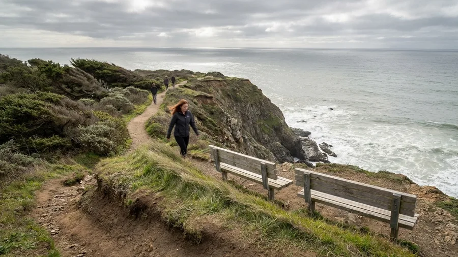
It’s a short bluff walk with an outsized ocean, and the ranger who pointed me at it takes it on her lunch break.
The loop is 2.8 miles with only 250 feet of gain, so figure 70 minutes at an easy pace, and the trailhead sits 5 miles from the visitor center. A climb that earns a ridge still asks something of your legs, so the easy view is the one worth knowing about: same ocean as the whale-watching overlooks, none of the crowd, because the viewpoint isn’t printed on the park handout. The ranger walks it on her break; I walked it in the fog-free late afternoon of September, when the water went flat and silver and the benches at the bluff edge were empty. Two benches sit right at the edge, which is what makes it work for families and anyone squeezing a view into a short day. Bring a thermos of coffee, or a sandwich from the cooler in the car, and call it the cheapest good hour of the day. If you’re here in June fog, you’ll get a gray wall instead; go late in the season.
7. The Waterfall the Maintenance Crew Shows New Hires
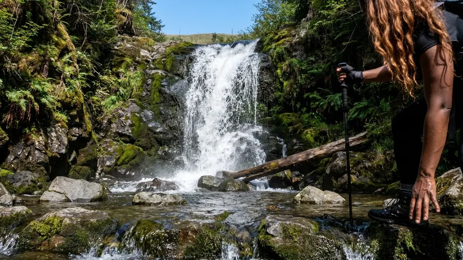
You hear the creek before you see the drop, a low rush that builds for the last quarter mile until the air turns cold on your arms. New seasonal staff get walked up here in their first week in uniform, which is how a waterfall this good stays off the visitor handout: 3.6 miles round trip, 620 feet of climb, two hours at a young-hire pace. Eleven miles from the visitor center, and the lot takes 14 cars.
The maintenance crew tells the story of the drop in a way no plaque gets wrong: the same fall as the marquee falls, same height, and roughly a tenth of the people. They take new hires partly so the new ones can answer a visitor’s question without pointing at the famous one. Two creek crossings come on the way up, rock-hops when the water is high, and I stepped across both without wet socks in August. Go before 8 a.m. and 14 spaces is more than enough.
8. A Ridge Walk Rangers Squeeze Into a Lunch Break
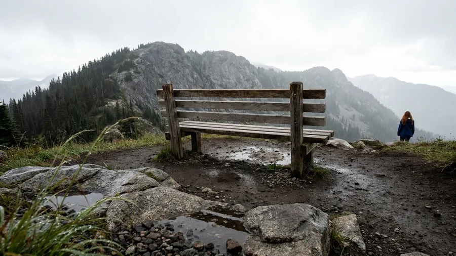
For the rangers in one district office, it is a ridge walk ten minutes from the visitor center on paved access: 2.2 miles, 380 feet of gain, 45 minutes at their pace, and the whole thing finished before the sandwich is gone. A destination waterfall is worth the drive and the early alarm. This pick answers a different constraint: the shortest time commitment I logged all summer, and the one that proves proximity is part of low traffic.
The bench is the detail. Rangers name it without hesitating, at the second switchback, facing the ridge, and I walked up and sat on it to time the round trip. Forty-five minutes, bench break included. No dirt road, no high-clearance drive, no 26-mile run up a forest road, none of the time a far trail spends before you have taken a step.
The best light is in the last hour before sunset, when the ridge goes orange and the day hikers are gone. You get the same rock, the same line of trees, the same sky as the people with a full half day, because the good stuff was ten minutes from the visitor center the whole time. If you are squeezing in one short walk, this is the shape to look for.
9. The Creek Trail That Stays Cool in August
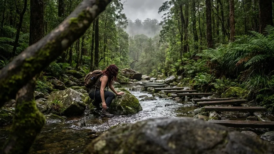
The water here runs loud enough to talk over, and cold enough that you wade in up to your knees, step out, and feel the temperature drop on your skin for a full minute after. Six easy access points sit along 4.8 miles round trip with only 400 feet of gain, about 2.5 hours if you stop, 9 miles from the visitor center.
The ranger recommends it in the hottest weeks for a reason: canopy and running water keep the corridor roughly 10 degrees cooler than the ridge trails. That is the whole rule. Start by 8 a.m. and be off by 11, and you get the cool half of the day without paying for it.
There is no famous waterfall and no summit, just shade and water, which is exactly why it works when the thermometer is the constraint. It also suits hot sleepers and anyone walking a dog on leash. What it costs is the same as any trail in this park: park entry, nothing more at the trailhead.
10. A Winter Standby That Almost Never Ices Over
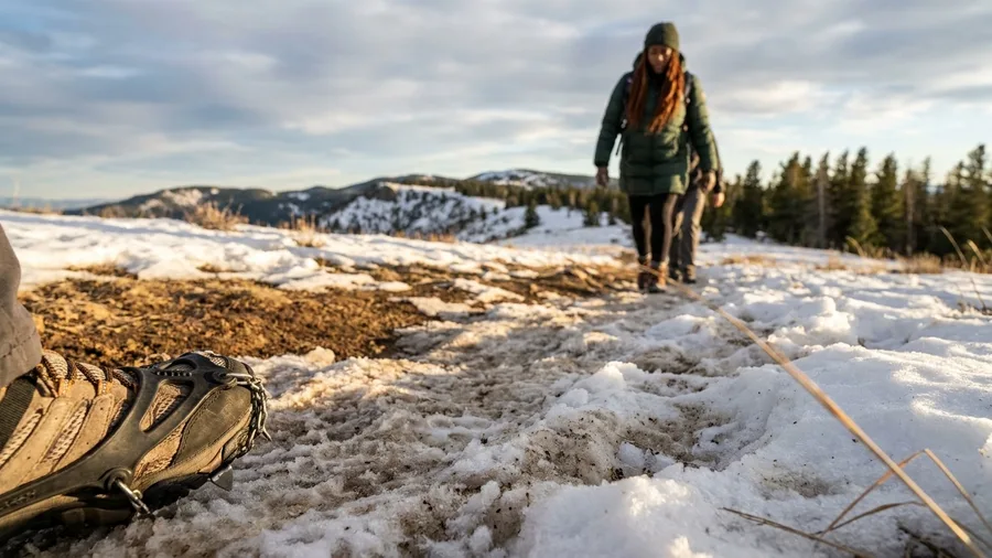
You want traction in your pack even when the valley is dry. The trail that rangers hand out once the high country closes is not famous, not high, and not hard – it is the one that stays open, and the two shaded switchbacks on the south end hold ice weeks after everything else has melted off.
The numbers are modest on purpose: 3.4 miles, 200 feet of gain, 1.5 hours, seven miles from the visitor center. On paper it barely reads as a hike. In practice that is exactly what makes it the winter answer – low elevation, a south-facing grade, and a line that stays snow-free most winters while trails two thousand feet above it sit under a foot of snow and a closed gate.
Of the 14 ranger picks I hiked, this is one of only 3 year-round standbys. The other 11 are snow-free June through October, which is a polite way of saying that from November to May most of the famous stuff is out. Rangers at the desk send people here when the high trails are closed, and the good ones check the park’s current closure page before they say a word about it – because a winter standby is only a standby if the road to the trailhead is open too.
I walked it in a cold snap with the parking lot half empty and my breath visible the whole way. The traction came out for maybe a quarter mile at the two shaded bends, then went back in the pack for the last mile. Allow more than the 1.5 hours if there is ice, and less if a thaw has been running for a week.
The trade is honest: this is not the trail you came for in July, and it is not a bucket view. It is the half day you can actually take when the calendar hands you February instead of June – and on those terms, with spikes in the pack and the closure page checked that morning, it delivers the one thing the marquee trail cannot in winter: an open trailhead and nobody in your way.
💡 Tip: Microspikes are worth the pack space for the two shaded switchbacks, even on a mild day.
Marquee Trail vs. Ranger Pick
The famous twin trail
- Parking lot full by 10 a.m. on a July Saturday
- Same ridge views, but you share them
- Start time dictated by the crowd
- On every visitor handout
The ranger's pick
- 6 cars in the lot at 6 p.m. on a weekday
- Same ridge views, alone
- Start before 7 a.m. on a weekday
- Not on the handout, not in the guidebook
11. The Old Pack Trail Above the Shuttle Stop
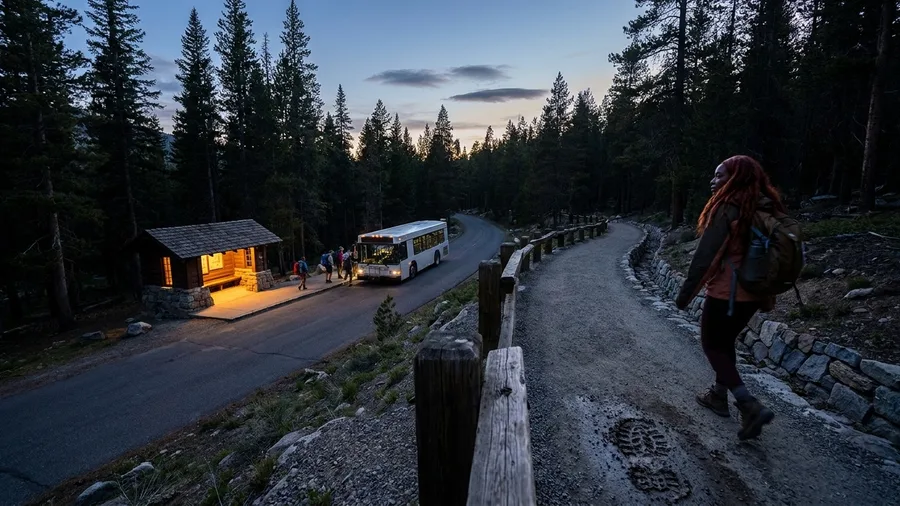
The first sound is the shuttle door folding shut behind you, and then the surprising part – the hiss of brakes pulling away and no line of people walking the same direction. You start walking while everyone else on that bus is still standing in the aisle, and within a quarter mile you can hear your own boots on the gravel.
It is 6.8 miles, 1,300 feet of gain, about 3.75 hours, and the trailhead sits at a shuttle stop, which means no parking stress at all. You ride in, you step off, you walk. Beyond park entry it cost me nothing extra. Catch the 7 a.m. shuttle and you are on the trail before the lots are even arguing with each other.
Rangers use this one as a training hike, and I understood why the moment I passed the first mile marker: I counted a dozen people in that opening mile, and after the marker the trail went empty. It runs the same drainage and the same shuttle system as the famous stops, but it hands you a half day of quiet the marquee trail cannot. For more routes where solitude is the whole reward, see these secret trails without crowds. It suits a fit hiker with four hours and no patience for crowds. It does not suit anyone wanting a waterfall, a summit or a short walk – the climb is steady the whole way, and the reward is the empty trail more than any single view.
12. A Meadow Loop Rangers Take Their Visiting Parents On
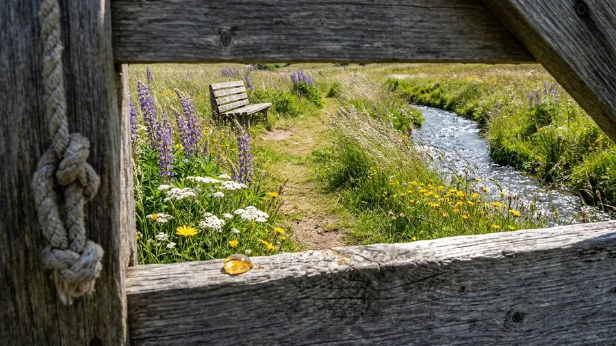
This is a flat meadow walk with a bench every quarter mile.
That sounds like faint praise until you are the one holding a five-year-old’s hand and watching a grandparent measure the next rise. The loop is 1.9 miles, 120 feet of gain, about 50 minutes, three miles from the visitor center. The grade is gentle enough for strollers and slow walkers, and there is a vault toilet at the trailhead, which matters more to a family than any viewpoint on the trip.
The doing is simple and it fills an hour well: you walk, you stop at the next bench, you name the flowers, you walk again. Rangers take their own out-of-town parents here, and the wildflower window one ranger gave me is worth planning around – mid-June to mid-July, when the meadow is doing the work the trail itself does not.
I walked it with a family of four and a grandfather who uses a cane, and nobody was tired at the end and nobody was bored in the middle. That is a harder combination than any summit.
There is no famous feature to photograph here, just an even grade, water within reach of every bench, and a loop you can cut short at any point without stranding anyone. When the marquee trail would wear your group out by the halfway mark, this is the pick that lets everyone finish.
13. The Canyon Rim Where a Ranger Watches Storms
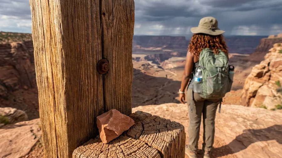
A family loop like that one asks very little of you; the canyon rim asks for a 6 a.m. start and pays you back in weather. It runs 5.5 miles with 900 feet of gain, about 3 hours, and the trailhead sits 16 miles from the visitor center, which means you are leaving before the entrance station has a line. The ranger I got it from walks it to watch storms build, and it is the one pick in my 14 with real exposure: open rim, no shade, no water source anywhere on the route.
That is the catch and it is not a small one. In monsoon season the hard rule is off the rim by noon, and the ranger said it the way people say things they have seen go wrong – not a suggestion, a deadline. I carried two liters, wore a brimmed hat against a sun with nothing to block it, and still felt the heat come off the rock by mid-morning, which is why I would not put anyone uneasy with exposed edges on this one, and would not send a child up it.
What you get for the trouble is a show the marquee overlook cannot sell you: clouds stacking over the far wall, the light going flat and then silver, no rail of phones in front of the view. Nobody is there because the view is not on the handout and the walk is too long to stumble into. Start at 6, be off by noon, and check the forecast the morning of – a storm here is worth watching from the rim and not worth being on it.
💡 Tip: The ranger checks the forecast twice on storm days. You should check it three times.
14. The Back-Way Trailhead That Skips the Main Line
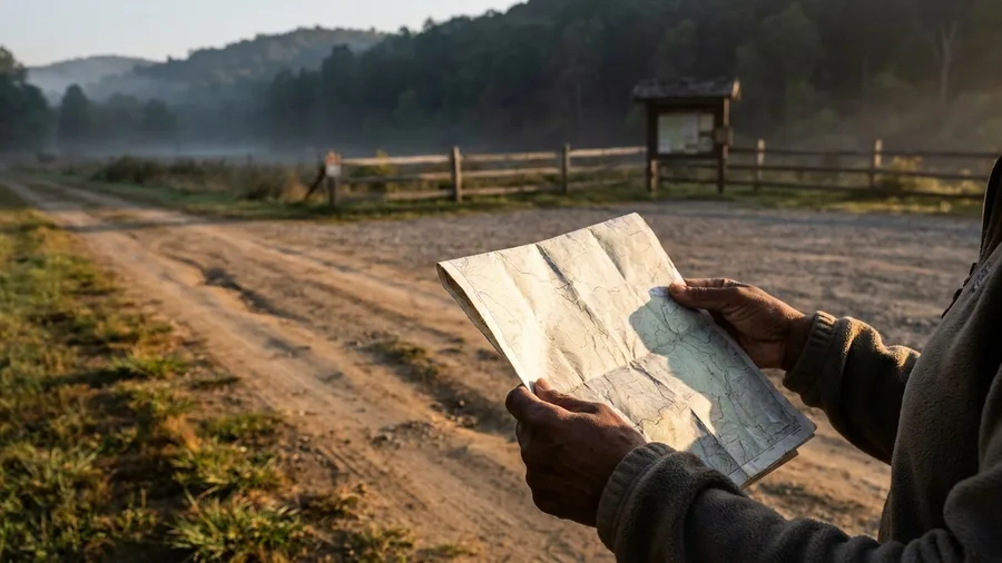
That is the question this last route answers, and the trick is not timing or a secret hour – it is starting from the other side. It is a 4.0-mile round trip with 700 feet of gain, about 2.25 hours, and it climbs from the quiet side of the same drainage to the same place, just approached from the opposite direction. The ranger I got it from prefers this half, and standing at the top you see why: the crowd arrives from one side and you arrived from the other.
The cost is the road. Four miles of dirt to the trailhead, high clearance wanted and a low sedan not advised, which is one of four picks in my set that sit up a forest road like this. I drove it slow, found the lot with no line, and had no cell signal there – nine of the 14 had none, so rangers handed me paper maps for those, and this is one. Beyond park entry I spent nothing here; across the whole set it came to $12 at two private lots, and the longest trailhead drive I made from a visitor center was 26 miles. So: check the road conditions, take the paper map, and take the view from where it is quiet.
Frequently Asked Questions
Do I need a permit for any of these trails?
Some parks require permits for certain trailheads or wilderness areas. The rangers told me to check the park’s official site the day before, because permits and closures change. None of the 14 required a separate permit when I hiked them, but that is the park’s call, not mine.
Are these trails safe to hike alone?
Most are, with the usual caveats: tell someone your plan, carry a paper map, and start early. The canyon rim pick has real exposure and no water, so it is the one I would not do alone unless you are comfortable with edges. Nine of the 14 have no cell service, so do not count on calling for help.
What is the best time of year for these hikes?
June through October for 11 of the 14. The other three are year-round winter standbys, and the low-elevation south-facing one stays snow-free most winters. Spring and fall are best for the exposed red-rock wash and the canyon rim, where summer heat is the constraint.
How much does it cost to hike these trails?
Ten of the 14 cost nothing beyond park entry. Two private trailhead lots charged, and I spent $12 total across both. Entry fees vary by park, so check the park’s site before you go. I did not pay for any guided tour or shuttle beyond the standard park entry.
Can I do more than one of these in a day?
Yes, if you pick two short ones. The ridge walk is 45 minutes and the meadow loop is 50. Pair them with a longer morning hike and you have a full day. I would not stack two of the 3.5-hour picks in one day; the drive time adds up and the storms build in the afternoon.
Why are these trails not famous?
They are not on the visitor handout, they often lack a marquee feature like an arch or a summit, and their trailheads are sometimes up dirt roads. The rangers like them for exactly that reason. The view is often the same as the famous trail; the crowd is not.
Pick by the Constraint in Front of You
the 3.1-mile Acadia ledge, alarm in the dark, on the rock at first light. One free morning: the 4.3-mile Smokies loop, 780 feet, 7 a.m. start. A full half day and rain gear: the 6.2-mile Olympic out-and-back above Lake Crescent. Trip falls outside June through October: the 3.4-mile year-round standby, traction in the pack.
First thing you do is open the park’s official site the day before and check closures, entry fees and any permit the trail needs. Then set the alarm early and go.
It ends where it started: that July Saturday, the marquee lot full at 10 a.m. and six cars at the ranger’s pick. None of these trails is a secret. They are measured and timed, which is all it takes. Start early, finish inside half a day, and the park is yours.
Pick one trail and set the alarm
Choose your constraint from the list above, check the park site for closures and permits, and start before 7 a.m. The six-car lot is waiting.