How did anyone find their way before maps? That is the question – and this article answers it by working through the specific cognitive and social mechanisms that did the job, and what those reveal about a navigational capacity still sitting inside the same brain reading this now.
Notice what happens when GPS loses signal on a mountain road or cuts out inside a tunnel. The disorientation is immediate and oddly large – bigger than the practical problem warrants. That reaction is a clue. Something cognitive, not just convenient, has been handed over to the device.
The assumption most people carry is that navigation before maps was a feat of memorization, the province of extraordinary individuals with unusual gifts – a lost art belonging to a different kind of human.
It was not. Every pre-map navigator, from a Polynesian sailor crossing 2,000 miles of open ocean to an Inuit traveler reading snowdrift patterns in a whiteout, was running the same biological hardware the reader’s brain runs right now. The difference was what they fed into it, and how deliberately they paid attention.
By the end, the picture is clear: which cognitive mechanisms did the actual work, how those mechanisms were trained and passed on, what GPS is quietly doing to them, and one concrete act to start reversing that this week.
The Brain Draws Its Own Map Before Paper Existed
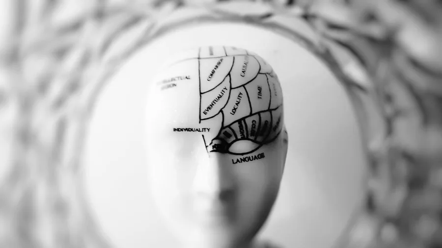
The brain was already making maps long before anyone thought to draw one on bark or stone.
Deep in each temporal lobe sits the hippocampus, a curved structure whose core job is to build a spatial model of any environment the body moves through. It does this automatically – not because anyone practiced it, which is why a person can walk back out of an unfamiliar building by a route they never deliberately studied. The knowledge went in without being noticed.
That is a fundamentally different object from a paper map.
A paper map exists outside the person consulting it – it is an abstraction that can be folded, left behind, or lost. The cognitive map exists only because a body moved through space and the hippocampus kept updating its model in real time. Stop moving, and the map stops being built. It is less a record than a continuous reconstruction.
The system also encodes below the level of language. People regularly know which way to turn without being able to explain the reasoning – because the knowledge lives in spatial and procedural memory, not in the verbal circuits that produce explanations. Ask someone to describe the route and they often cannot; ask them to walk it and they go straight there.
Every pre-map navigator – Polynesian, Aboriginal Australian, Inuit – was running this exact biological architecture. The difference between a navigator who crossed 2,000 miles of open ocean and a person who feels disoriented in an unfamiliar city is not a difference in hardware. It is a difference in what each person fed into the same system, and how consistently.
💡 PRO TIP
The Map Lives in the Movement
The hippocampus builds spatial memory through physical movement through space — not through looking at a map of that space. Passive study of a route does far less for retention than walking it once, even slowly.
Every Step You Take Updates a Running Position Count
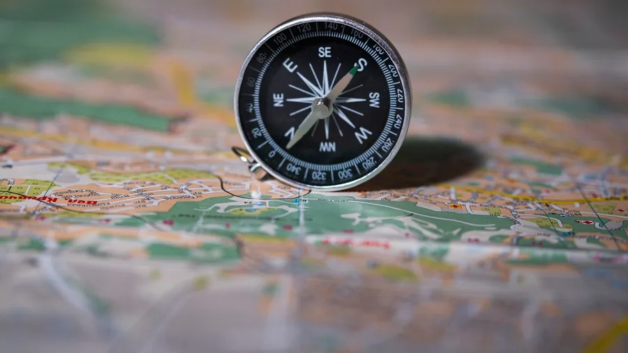
The hippocampus builds a spatial map from whatever the body feeds it – and the most fundamental feed is the body’s own record of movement through space.
Dead reckoning turns that feed into a continuous position estimate. A navigator begins at a known point, then tracks three variables without any instrument: roughly how fast they are moving, which direction, and how long they have been going. Those three numbers, held and updated in the mind, project a current position across any stretch of terrain or water. No device required – only a body in motion and a mind that keeps count.
The nervous system supplies the raw data automatically. Proprioception – the felt sense of the body’s own effort, rhythm, and tilt – generates a constant stream of movement information. A paddler feels the resistance change when a current shifts. A walker feels the pace slow on an incline. The hull of a canoe transmits its own lean and pitch. None of this requires conscious analysis; the body is already doing the measurement.
Errors compound, though. Every small misjudgment adds to the last, and over a long stretch the drift from true position can grow significant. Pre-map navigators corrected for this by anchoring dead reckoning to recognizable landmarks at regular intervals – each confirmed position reset the accumulated error before it became disorienting. Polynesian voyagers crossing roughly 2,000 miles of open ocean ran dead reckoning in parallel with star readings and ocean-swell direction, each system acting as a check on the others.
The discomfort most people feel when asked to estimate how far they have walked – the immediate urge to check a phone – is not a sign of incompetence. It is the signal of a system that has been given very little to work with for a long time.
Dead Reckoning vs. Celestial Navigation — Reliability at Scale
Sun and Stars Gave Everyone a Free Compass and Clock
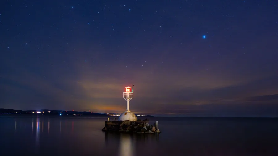
Knowing how far you have traveled only helps if you also know which way you were facing when you started – and across open ocean or featureless terrain, that answer came from above.
At the most basic level, the sky offers two free reference systems to anyone who has spent time watching it. During the day, the sun rises in the east and sets in the west; at any point between, its position in the arc tells a practiced observer roughly where north and south lie. At night, the North Star sits fixed above the northern horizon, visible through any clear sky, immovable while every other star wheels around it. These cues are not navigation tools in any manufactured sense – they are patterns available everywhere on earth, to anyone who has watched long enough to learn them.
Polynesian navigators built something far more precise on top of that foundation. They memorized the specific points on the horizon where dozens of named stars rise and set – positions that shift with the seasons and with latitude. Those rising and setting points were organized into a mental compass: a division of the entire horizon into named sectors, each sector linked to a particular heading or destination. To hold course toward a specific island group, a navigator oriented to the star associated with that direction.
This is pattern recognition, not technology. It lives entirely inside the navigator’s mind, built through years of watching the same sky shift across different seasons and different latitudes.
The cost of that system is steep. Unlike the hippocampus, which begins assembling spatial maps without being asked, the star compass does not build itself. It requires deliberate, sustained attention paid over years before it becomes usable. The capacity to internalize those patterns is present in any human brain – that part has not changed. What has changed is that almost no one now invests the attention the system requires to come online.
Smell, Wind, and Sound Told Navigators What Eyes Could Not
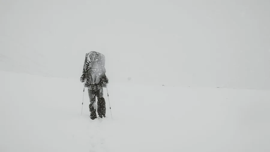
Clear skies solved a specific set of problems – but conditions closed in, coastlines vanished, and flat terrain repeated itself for days without offering a single distinguishing feature.
An Inuit traveler in a whiteout had no horizon to orient by and no landmark to fix on. What the environment still offered was wind – its direction, its constancy, the way it sculpted snow into drifts that pointed predictably relative to the prevailing flow. A trained reader could hold a course entirely from the felt resistance of wind against one cheek and the angled texture underfoot, and the information was reliable enough to trust across hours of travel with no visual confirmation at all.
On open water at night, the same logic ran through the body differently. A navigator stretched out in the hull of a canoe could feel the ocean’s deep swells rolling through the hull itself – long, low pulses generated by distant storm systems, traveling in consistent directions regardless of surface chop or wind. That sensation, read against a known heading, was a position check that required no instrument and no visibility.
Other channels ran in parallel. Certain plants produced a detectable scent before they came into view. Reef break carried as sound well before it appeared as white water. Specific birds appeared at predictable distances from land, and their presence meant something precise on a mental chart built over years of observation.
The cognitive move underlying all of it is triangulation. When wind, swell, bird behavior, and scent point to the same conclusion, confidence holds. When they diverge, the navigator pauses – not from uncertainty, but from knowing the signals well enough to recognize the disagreement as a warning rather than noise.
None of this arrived automatically from living near the sea or the Arctic. It was built through years of paying deliberate, repeated attention to a specific environment. The capacity to do it is ordinary human neurology; the knowledge encoded into that neurology is the result of sustained practice, and the modern brain carries the same hardware waiting for the same investment.
Navigational Cue Channels — At a Glance
⭐ Celestial
Usable only in clear conditions; first channel to fail in overcast or whiteout
🌊 Ocean Swell
Generated by distant storms; persists through surface chop and darkness — available when all visual cues are gone
💨 Wind & Drift
Primary backup in Arctic whiteout; snowdrift angle holds course information even when horizon and landmark both disappear
🐦 Biology
Each species marks a different distance threshold from land — stacking species sightings narrows position progressively
🌿 Scent
Arrives before visual or audible confirmation; useful precisely because it extends the detection window ahead of landfall
What divergence actually means
Disagreement between channels is not confusion — it is data. A trained navigator treats it as a warning that one input has been misread, not that all of them have failed.
A Memorable Scene Outlasts Any Spoken List of Turns

All that perceptual knowledge had to survive not just a single crossing but a lifetime of repeat travel – and without writing, the question of what made a route stay retrievable is itself a question about how the brain holds onto what matters.
The answer was not distance or duration. It was distinctiveness.
Memory tied to a specific sensory event – the look of a place, the sound it made, what happened there – holds far longer than memory of an abstract sequence. ‘Turn left at the tree struck by lightning’ outlasts ‘turn left after roughly forty paces’ by years, possibly a lifetime, because the first locks onto something the brain already tagged as unusual and worth keeping.
Pre-map routes were built around this principle. The structure was not measured distance between waypoints – it was a chain of scenes, each one striking enough that a traveler could not arrive at it without recognizing it. An oddly balanced rock formation, a valley that narrowed to a specific shape, a dried riverbed that cut across otherwise flat ground. The stranger the feature, the stronger the consolidation; the brain flags the unexpected as high priority and holds it accordingly.
Aboriginal Australian songlines work at the scale this principle makes possible. Routes spanning hundreds to thousands of kilometers are held in memory not as lists of instructions but as sequences of landscape features, each one a node that anchors the spatial structure of the whole. The terrain itself was the mnemonic device, and the traveler’s job was to have noticed it carefully enough that each feature, when it appeared, pulled the next one forward.
For anyone trying to retain a route now: counting intersections is the weakest possible strategy. What the brain actually keeps is the genuinely unusual – the building with the painted mural, the corner where the pavement dips sharply. Notice those, name them precisely, and the route tends to hold.
Songs and Stories Were the Original Turn-by-Turn Directions
Landmark memory solves the problem for one person on one crossing – but knowledge that had to pass intact across generations, before any written record existed, needed a format the brain could hold and transmit reliably.
Narrative was that format.
The brain stores sequences far more durably when each event follows causally from the one before it – a story, where something happens because of what preceded it, is structurally stickier than a list of equal-weight instructions. This same instinct for story-based memory and debt shaped how early human economies tracked who owed what to whom. Sing the right verse and the next one comes; try to recall the seventh item in a list and it simply may not be there.
Aboriginal songlines exploit this directly. Each verse mapped onto a specific section of terrain, and the sequence of verses mirrored the sequence of the land itself. To move through the song in order was to move through the country in order – one was not a representation of the other so much as the same structure expressed in two different materials. Singing was not a performance separate from the knowledge; it was the knowledge being activated.
Encoding routes this way was not a clever workaround for the absence of paper. Rhythm and melody and causal structure are features the brain already works with – using them to carry spatial sequences meant the information arrived in a form long-term memory was already prepared to handle. The songs carried what no map yet could.
The limit built into this format was real and deliberate. A person who had never set foot on any stretch of the terrain could learn every word of a song and still not decode it as a route. The song functioned as an activation key for memories the body had already laid down by moving through that land. Transmission therefore required something more than instruction – it required presence, which is exactly where the next step in that chain begins.
⚠️ COMMON MISTAKE
Verbal Description Cannot Transfer the Skill
Describing a route in words — or studying a map of it — does not build the spatial memory that walking it does. The hippocampus needs the body in the environment for encoding to happen properly. Instruction that skips the field experience is teaching the label without the referent.
You Learned a Route by Walking It With Someone Older
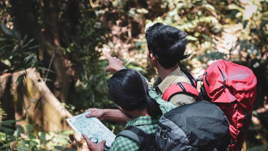
A song could carry a route across centuries, but decoding it required something the song alone could never supply: the experience of being in the terrain with someone who already knew it.
The reason is specific to what wayfinding actually asks of a learner. The cues that matter – the particular resistance of a crosscurrent, the faint smell that marks a transition from scrubland to coastal vegetation, the rock formation that is the real turning point rather than the obvious one fifty paces later – resist any description accurate enough to be useful. A person can be told ‘the swell shifts here’ and still feel nothing useful underfoot until an expert is alongside them saying ‘that. That shift. Right now.’
Across wayfinding cultures, the transmission pattern was apprenticeship for exactly this reason. A novice traveled with an experienced guide who named features as they came into view, drew attention to cues in the moment they were detectable, and corrected a misreading on the ground where the correction had weight. The learning happened in the place, at the time, because that was the only format the brain could actually use.
This matches what the hippocampus requires. Spatial memory builds through physical movement through an environment – not through hearing about that environment from a chair. The encoding the hippocampus performs depends on the body being present, the senses receiving real input, the position actually updating.
Modern instruction in reading maps and following GPS reverses this sequence entirely. It teaches the symbol first and expects the place to follow, asking the brain to hold an abstraction until experience eventually catches up to give it meaning. Pre-literate wayfinding teaching, informal as it looked, ran in exactly the right order: the expert’s role was not to explain but to direct the novice’s attention to the right feature at the right instant, in the place where that attention would stick.
The Wayfinding Knowledge Hierarchy
From refined expertise to the foundation everyone shared
Master Navigators Earned Social Authority, Not Just Admiration
That depth of investment – years of embodied learning, attention trained feature by feature, knowledge built across hundreds of repeated passages – did not go unrecognized.
In Polynesian seafaring cultures, master navigators occupied a formal social position that stood apart from political or military authority. The role was not a technical specialty that reported upward to a chief; it was a distinct category of standing in its own right. A chief directed people. A master navigator was the reason those people could cross 2,000 miles of open ocean and arrive.
The psychological mechanism behind that status is not complicated. When a community’s survival depends on knowledge that only one person holds, that person generates a structural reliance that produces deference as a matter of practical necessity, not flattery. The authority was real because the dependence was real.
But this did not make wayfinding a rare gift distributed to a handful of exceptional individuals. Most people in any such culture held solid working knowledge of their local terrain – familiar coastlines, regular routes, seasonal patterns. It was long-range capability, the kind that crossed open water or linked distant regions weeks apart, that was rare enough and consequential enough to distinguish its holders.
The skill ran along a spectrum, from ordinary local competence to extraordinary range. What separated one end from the other was not innate talent – it was accumulated practice, sustained attention, and years of accumulated distance. That distinction matters: the spectrum was always open to anyone willing to pay the cost of moving along it.
Tool That Augments vs. Tool That Substitutes
Augments the Skill
- Practitioner still does the core cognitive work
- Hippocampus builds an integrated spatial map
- Internal map consolidates during and after the trip
- Device unavailable? Internal route still accessible
- Skill deepens with repeated use
Substitutes for the Skill
- Device provides each instruction as needed
- Hippocampus has no reason to build a spatial map
- No encoding consolidation occurs during the journey
- Device unavailable? No internal map to fall back on
- Dependence increases over time, not competence
GPS Replaces the Cognitive Work Instead of Supporting It
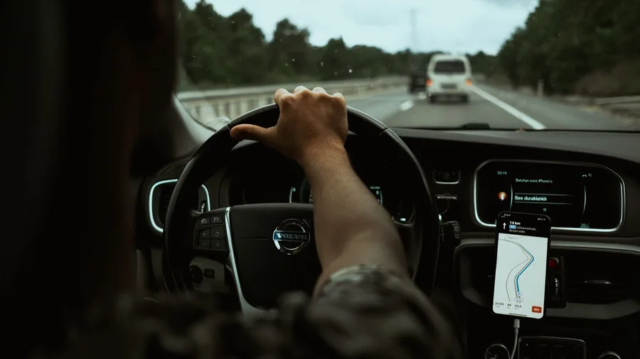
If navigational skill always lived on a spectrum of practice rather than a fixed line between gifted and ungifted, then GPS doesn’t just affect individuals – it shifts where almost everyone sits on that spectrum, and in one direction.
The useful distinction here is between a tool that supports a skill and one that replaces it. A tool that supports keeps the practitioner doing the core cognitive work; the tool handles something peripheral. A tool that replaces does the core work itself, and the practitioner’s role collapses to operating the tool. Turn-by-turn GPS is a replacement. The route is computed, the decision is made, the instruction is issued. The user follows.
What this means for the hippocampus is specific. Building an integrated spatial representation of a route requires the brain to track position continuously, hold partial information across stretches of uncertainty, and consolidate the whole structure afterward. When each instruction arrives as needed, none of that processing is demanded. The hippocampus is not given the problem to work on, so it does not build the map.
The cost is invisible while the device is working. GPS is genuinely useful – unfamiliar terrain, time pressure, genuine risk of error – and the absence of an internal map causes no immediate problem while the external one is running. The cost surfaces when the device fails or is absent. People who have relied on GPS heavily for years describe a real difficulty finding their way in areas they have traveled through dozens of times. That is not a vague anxiety about technology. It is what happens when a system only consolidates what it is actually asked to process.
The hippocampus is not damaged. It is underemployed. Those are different situations with different implications.
The Capacity Is Still There; Reclaiming It Takes Deliberate Attention
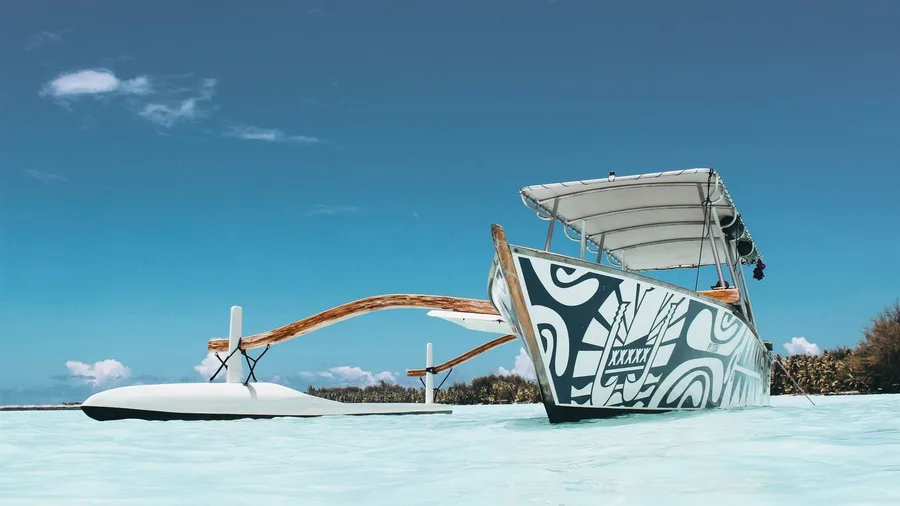
Underemployed is not the same as gone. The hippocampus that built spatial maps for every Polynesian navigator who ever crossed roughly 2,000 miles of open ocean, for every person who followed a songline across hundreds of kilometers of terrain, is structurally intact in the modern brain. Understanding what governs brain aging and plasticity helps explain why a system unused for decades can still be reactivated with deliberate practice. GPS dependence has not damaged it. It has simply stopped being asked to do the work.
Re-engagement looks ordinary in practice. Pick a familiar area – a neighborhood walked dozens of times – and move through it without a device. Before leaving, say the route aloud: ‘left out of the door, right at the pharmacy with the green awning, straight past the school.’ Then walk it and check what appeared against what was predicted. Name landmarks specifically as they come into view. Notice what is genuinely unusual – the scaffolding that wasn’t there last week, the building whose paint looks recently changed – because the unusual is exactly what the hippocampus is wired to retain.
Re-engagement moves faster than original learning because the architecture is primed, not absent. The brain is not starting over; it is being handed back a task it already knows how to perform.
Every navigator who ever read ocean swells through the hull of a canoe at night, or held a course by snowdrift pattern through a whiteout, started from the same position the reader is in now – deliberate attention, body in motion, no device offering to substitute. The capacity was never elsewhere. It needs what it always needed.
🧠 How to Re-Engage Your Spatial Memory This Week
Pick a Familiar Route
Choose somewhere you have been to at least five times — familiar enough that the internal map exists, even if it is weak.
Predict Before You Go
Before leaving, say the route aloud from memory: the turns, the landmarks, the order — then compare your prediction to what you actually encounter.
Name What You See
As landmarks appear, name them specifically out loud or in your head — not 'the shop' but 'the red-brick corner hardware store with the green sign'.
Notice the Unusual
Actively register anything unexpected or distinctive — the brain tags novelty for deeper consolidation, exactly as ancient navigators relied on striking landmarks.
Leave the Device in Your Pocket
Complete the route without checking GPS even once; the discomfort of uncertainty is the hippocampus doing the work it was built to do.
Frequently Asked Questions
Did pre-map navigators ever get completely lost?
Yes, and cultures that depended on long-range navigation knew it was a real risk. The mitigation was systematic: multiple independent cue channels were cross-checked constantly, routes were broken into legs anchored at landmarks, and wherever possible, experienced navigators did not travel alone. Getting lost was treated as an error in attention or preparation, not an inevitable consequence of the method.
How accurate were Polynesian navigators over 2,000 miles of open ocean?
Accurate enough to locate specific islands reliably, which required arriving within a navigable range of a target that might be only a few miles wide. This was achieved by combining dead reckoning, star compass headings, and ocean-swell reading as redundant error-checking systems. Modern reconstructions of traditional voyaging, using no instruments, have confirmed that the method works at that scale when the knowledge is fully intact.
What are Aboriginal Australian songlines exactly?
Songlines are sung routes across terrain that encode spatial information in a musical and narrative structure. Each verse of a song corresponds to a specific stretch of landscape, so the song’s sequence mirrors the route’s sequence. They span hundreds to thousands of kilometers and were transmitted person-to-person across generations before any written record existed. They are not merely cultural artifacts — they function as working navigational tools for those who hold the full knowledge.
Does using GPS actually damage the hippocampus?
There is no good evidence that GPS use damages hippocampal tissue. The more accurate description is underemployment: the hippocampus builds spatial maps through use, and when GPS provides turn-by-turn instructions, the encoding work that would normally build those maps simply does not happen. The structure is intact; the practiced skill is not being exercised. That is a recoverable condition, not a permanent loss.
Could someone learn to navigate like a Polynesian or Inuit navigator today?
The biological capacity is present in every human brain — the hippocampal architecture and the sensory processing systems are identical. What is required is the years of deliberate, sustained attention to the specific cue environment: the sky, the ocean swells, the wind patterns. Adults who have spent years sailing open water do develop functional versions of these skills. The constraint is investment of attention over time, not biology.
How was wayfinding knowledge kept alive before writing?
Through apprenticeship and song. The apprenticeship model meant novices traveled with experts who named cues in real time, in the field where the corrections were meaningful. Song encoded spatial sequences in a format that exploited the brain’s natural strengths — rhythm, melody, narrative — making long routes far more durable in memory than any spoken list of directions. The combination kept complex navigational knowledge intact across generations without a single written word.
The Capacity That Never Left You
The navigational capacity that carried people across open oceans and continental interiors before a single map was drawn is not a relic of a different kind of human. It is a dormant function of the same brain you are using to read this sentence, structurally intact, sitting in the same hippocampal architecture it has always occupied.
GPS has not erased it. It has simply stopped asking for it – and the hippocampus, like any system, consolidates only what it is regularly given to do. Underemployed is not the same as gone.
This week, without any equipment: pick a familiar route and walk it without a device. Before you leave, say the landmarks aloud in order. As you move, name what you see specifically – not “a corner” but which corner, not “a hill” but its shape against what is behind it. That is not a nostalgic exercise. It is the exact cognitive act that once guided people across featureless ocean and frozen tundra, and the next time a signal drops and the screen goes blank, you will already know what to do.
Try the Prediction Test on Your Next Walk
Before you leave, say the route aloud from memory. Then walk it without GPS and see how closely your internal map matches what is actually there. The gap between prediction and reality is exactly what the hippocampus needs to start closing.