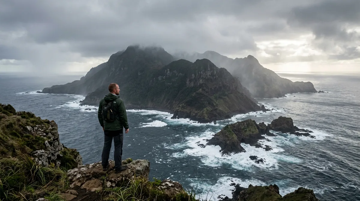
Human fascination with forbidden places runs deep, especially when an island is completely erased from public maps or cordoned off by armed patrols.
Governments keep tourists out for various reasons, ranging from military exclusion zones and indigenous protection laws to severe biological quarantine risks.
You are about to explore ten real landmasses where unauthorized entry means facing arrest, massive fines, or hazardous environmental conditions.
From coral reef perimeters guarded by naval ships to remote volcanic craters locked down by toxic gases, these locations test the boundaries of global travel.
Quick Tips Before You Start
Check Outer Limits
Most restricted islands enforce exclusion zones starting three to five miles offshore.
Understand the Laws
Penalties for trespassing range from heavy Coast Guard fines to mandatory quarantine.
View from Afar
Rely on documentary footage and satellite imagery rather than risking illegal charter boats.
Respect Quarantines
Biological and chemical hazards persist on several sites long after initial closures.
💡 PRO TIP
The Spectrum of Exclusions
Governments use different legal tools to secure dangerous islands. Some rely on public health quarantine laws, while others use national security mandates to deter civilian boats.
Global Isolation Zones
Save this reference map to understand the remote positioning of these restricted territories.
1. North Sentinel Island
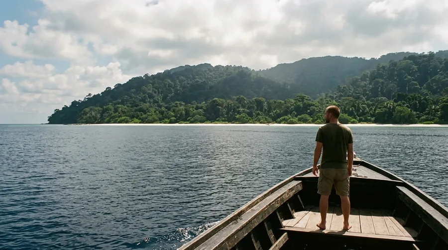
A distant, hazy shoreline of thick tropical jungle rises steeply from a pristine white-sand beach where boats are legally required to stay miles back.
India enforces an active exclusion zone around the island via the Coast Guard to protect the indigenous Sentinelese population from outside contact.
Historical protection laws and strict public health measures prevent the introduction of common pathogens to a community lacking immunity.
⚠️ COMMON MISTAKE
Never Approach Tribal Waters
Ignoring maritime exclusion boundaries around protected indigenous lands risks both your safety and the survival of isolated populations.
2. Ilha da Queimada Grande
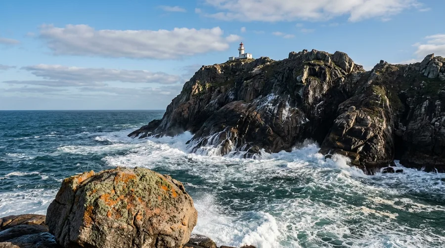
Skip the illicit boat charters trying to reach Snake Island; the Brazilian Navy patrols these rough Atlantic waters continuously.
The island earned its grim reputation as the exclusive habitat for thousands of golden lancehead vipers, one of the most venomous pit vipers on earth.
Rising sea levels isolated this population thousands of years ago, forcing the snakes to adapt to an arboreal diet of migratory birds.
Rare, heavily vetted scientific expeditions are permitted solely under strict government mandates and biological research oversight.
💡 Tip: Naval patrols use radar monitoring to intercept any civilian vessel approaching within three miles.
Access Reality Check
Official Surveillance
- Continuous naval radar monitoring
- Automatic arrest for illegal landing
- Heavy fines for unauthorized vessels
- No public mooring permits issued
Permitted Science
- Requires Brazilian Navy clearance
- Mandatory medical team on standby
- Strictly limited to herpetologists
- Harness and anti-venom protocols required
3. Surtsey
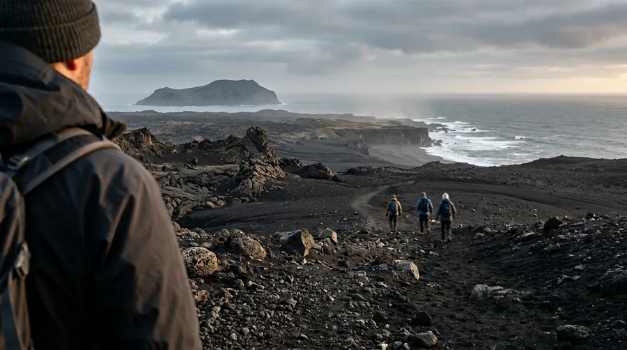
Born from an undersea volcanic eruption in 1963, this new landmass emerged from the North Atlantic over several years.
Foot traffic is restricted exclusively to a small handful of designated vulcanologists and marine biologists.
General tourists are barred to preserve an unperturbed ecosystem designed for studying primary ecological succession from scratch.
Surtsey Island — At a Glance
🌋 Origin
1963 Eruption
📏 Current Size
Under 1 sq mile
🔬 Access
Scientists Only
🌿 Primary Focus
Ecological Succession
Research Rule
Researchers must follow strict decontamination steps to avoid introducing foreign seeds.
4. Gruinard Island
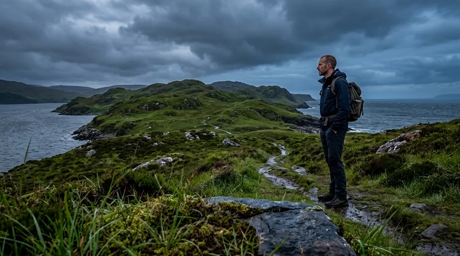
Local sheep farmers and coastal tour operators still treat the island soil with immense caution despite official declarations.
British military forces used the location for wartime biological warfare testing during the 1940s.
Experiments with virulent anthrax spores left the topsoil heavily contaminated for decades until a massive decontamination project took place.
💡 Tip: The 1986 cleanup used hundreds of tons of formaldehyde and seawater flooding to neutralize spores.
5. Heard Island and McDonald Islands
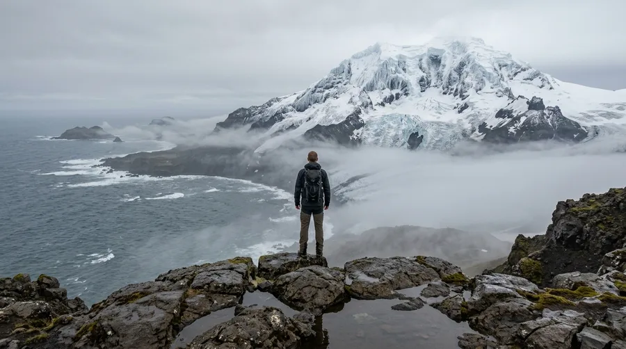
Reaching this remote Australian external territory requires a treacherous two-week open-ocean sailing journey across sub-Antarctic swells.
Active volcanic activity featuring Big Ben, a towering sub-glacial volcano, makes coastal landings exceptionally hazardous.
Strict biosecurity regulations protect world-heritage-listed marine and terrestrial wildlife reserves from foreign interference.
Sub-Antarctic Access Factors
6. Poveglia
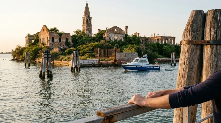
Imagine drifting in a small lagoon boat just meters past rusted metal gates, watching municipal police patrol the crumbling Venetian station.
The Italian government retains ownership, meaning public landings and unauthorized boat anchoring incur heavy fines.
Decades of dark tourism rumors stem from its past life as a plague quarantine post and twentieth-century psychiatric asylum.
7. Niihau
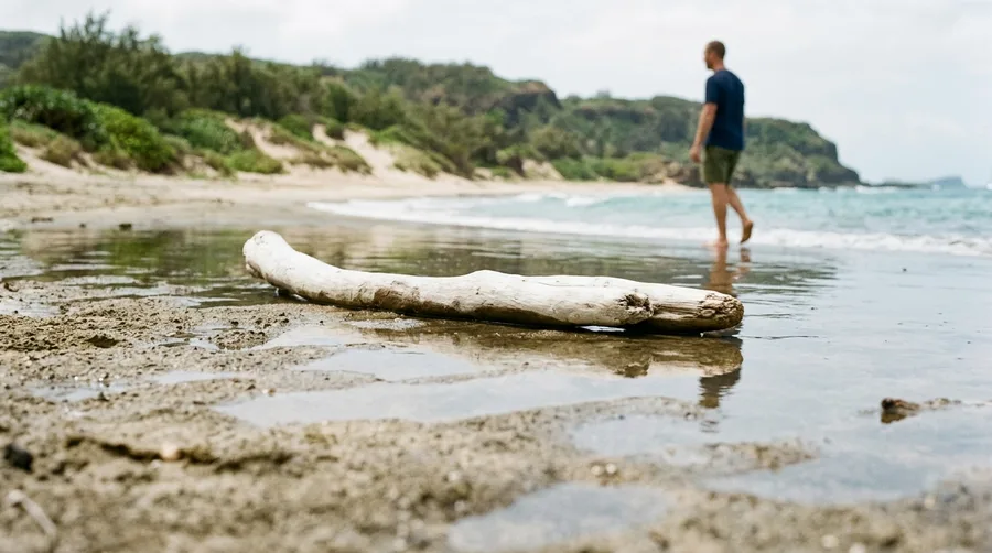
Unlike the luxury resorts of Maui or Oahu, entering Niihau requires direct invitation or a costly specialized helicopter tour.
The private owners maintain a strict access policy to protect the local community of native Hawaiian speakers.
This isolation preserves a traditional lifestyle without modern commercial infrastructure while providing a safe haven for endangered monk seals.
8. Las Islas Marias
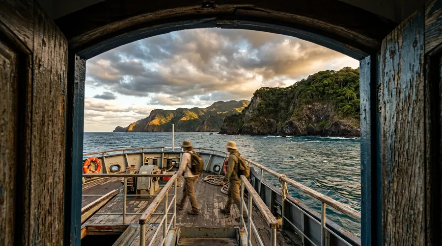
Mexico has opened parts of the former penal colony to low-impact ecotourism, but visitor numbers remain strictly capped.
Independent private sailing is prohibited, and travelers must book through regulated federal ferry programs.
Infrastructure is intentionally limited to protect fragile coral reef systems and native rabbit populations from overdevelopment.
💡 Tip: All tours depart from designated mainland ports under National Commission of Natural Protected Areas supervision.
9. Miyake-jima
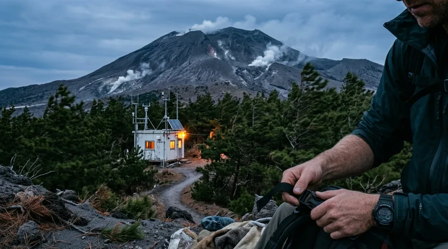
Walk perimeter paths where volcanic gas monitors blink warnings and air quality dictates daily outdoor safety.
A major eruption of Mount Oyama in 2000 forced the complete evacuation of all residents for over four years.
While sulfur dioxide emissions have decreased over time, electronic sensors remain active across the landscape.
Adventurous divers and vulcanologists visit legally via public ferry networks while adhering strictly to local emergency protocols.
10. Svalbard Outlying Islets
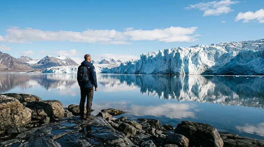
The 1920 Svalbard Treaty governs high-latitude regions, enforcing mandatory exclusion periods during polar bear denning seasons.
Outlying bird sanctuaries forbid human approach within miles to prevent nesting disturbances.
Historical whaling stations remain protected against souvenir hunters and structural vandalism under strict Norwegian oversight.
Frequently Asked Questions
Can you legally visit any of these islands with a special permit?
Certain scientific and governmental exceptions exist for researchers, but casual tourists are strictly barred from entering exclusion zones.
What happens if a private boat enters a restricted maritime zone?
Local coast guards typically intercept unauthorized vessels immediately, issuing heavy fines and escorting them out of territorial waters.
Are there virtual tourism options for restricted islands?
Documentaries, satellite mapping tools, and authorized museum exhibits provide safe ways to explore these locations without traveling.
Why are some islands closed for ecological reasons while others are closed for military reasons?
Closures depend on the specific hazard, separating delicate biosecurity quarantines from active national security installations.
Beyond the Perimeter Line
Preserving delicate ecosystems and historical sites requires drawing firm boundaries that keep foot traffic out of vulnerable environments.
Recognizing these closed borders protects fragile wildlife and indigenous cultures from the destructive impact of mass tourism.