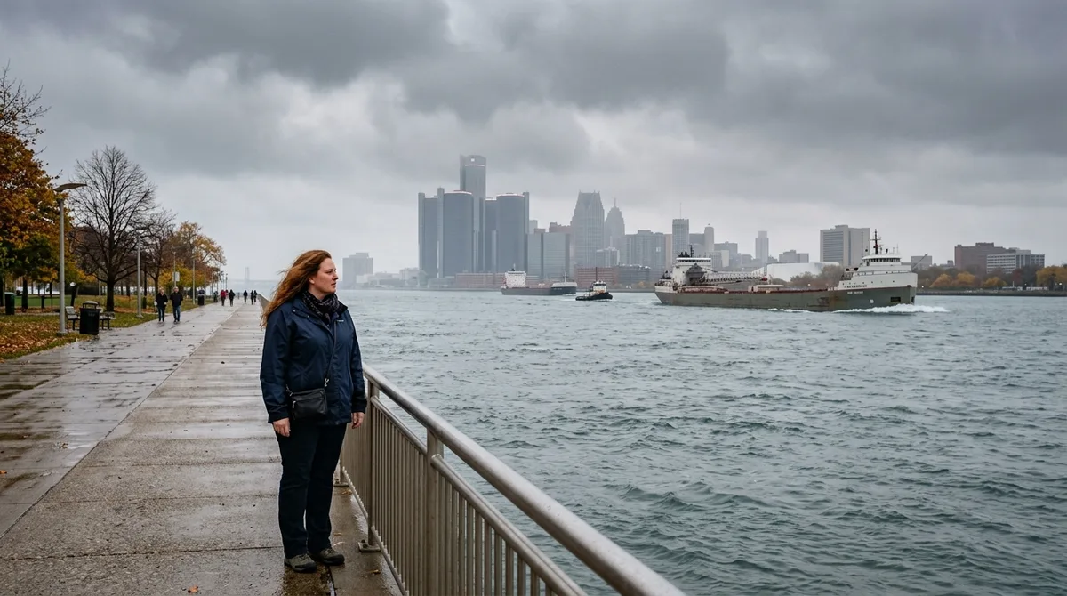
If you think Canada is just a frozen wasteland of endless snow and polite mounties, you are missing the reality of our northern neighbor. Most people south of the border carry mental pictures shaped entirely by greeting cards and old Hollywood winter clichés. They picture igloos, dogsleds, and sub-zero temperatures in July.
The truth is much stranger, warmer, and more complex than standard travel shows let on. Pack your bags for a reality check across provinces that stretch further south than northern California.
You will cross busy metropolitan streets, taste distinct regional foods, and explore landscapes that defy every stereotype you grew up with.
Quick Tips Before You Start
Summer Heat
Pack shorts and sunscreen because July temperatures regularly exceed 30 degrees Celsius.
Geography Check
Parts of Ontario sit further south than northern California.
Currency Rules
Always use local currency or plastic because greenbacks are accepted at a poor exchange rate.
At a Glance
How far north do you actually have to go to hit the border? Most drivers underestimate travel times between major hubs by hours.
You need a solid grasp of distances before planning any cross-border road trip.
Trans-Canada Route Overview
Save this route map before you start planning your cross-country driving itinerary.
1. Toronto Sits South of Northern California
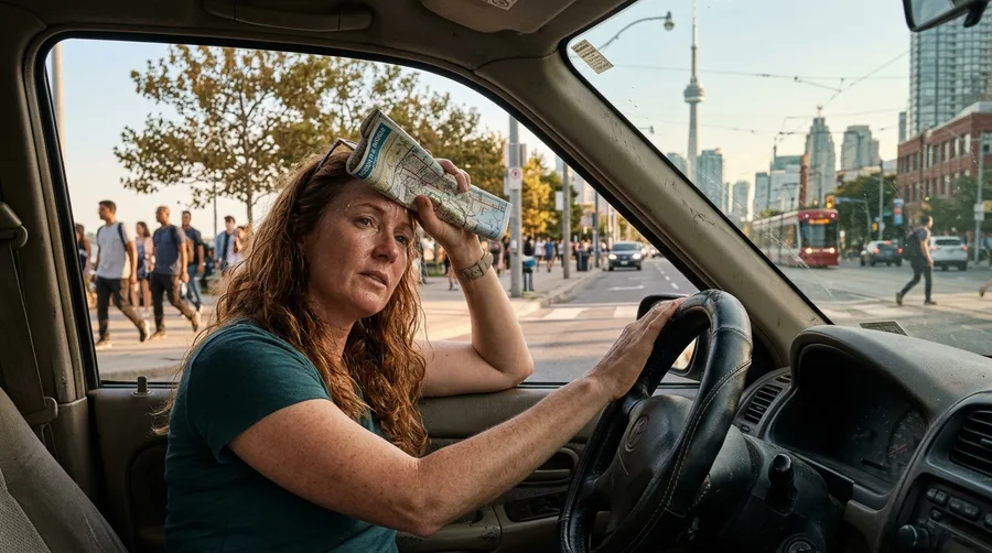
You step out of the car in downtown Toronto on a sticky August afternoon, wiping sweat from your forehead, while looking at a map that breaks every mental model you have about northern geography.
Most Americans picture Canada as an arctic expanse sitting entirely above the lower forty-eight states. In reality, the city of Toronto shares a latitude with northern California.
People from Seattle or Chicago often arrive bundled in heavy fleece jackets only to strip down to t-shirts within ten minutes.
Check your atlas before you pack winter coats for a summer city break in Ontario.
💡 Tip: Leave the heavy winter parka at home if you visit any major Canadian city between June and August.
⚠️ COMMON MISTAKE
Do Not Pack Winter Gear for Summer
Assuming Canada is frozen year-round leads to overpacking heavy layers that you will never wear during July and August.
2. Windsor Rests Further South Than Detroit
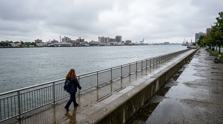
Geography textbooks taught generations of school children that Michigan sits safely above its Canadian neighbor across the river.
If you stand on the riverfront in downtown Detroit and look directly south across the water, you are looking straight at Windsor, Ontario.
The border loop dips so low that a pocket of Ontario extends further south than several northern U.S. states.
Keep this odd cartographic quirk in mind next time you cross the bridge for a quick weekend getaway.
Border Geography At A Glance
📍 Southernmost Point
Middle Island, ON
🌉 Crossing Point
Ambassador Bridge
🧭 Latitude Comparison
Matches Northern California
Key Takeaway
Canadian geography extends much further south than standard U.S. school maps suggest.
3. Montreal Operates as North America’s French Hub
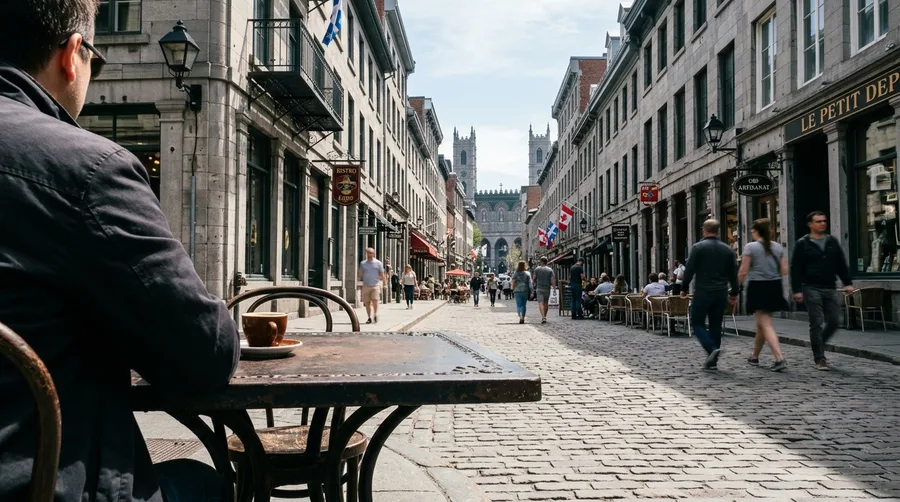
You wander down cobblestone streets lined with historic stone buildings, listening to fast-paced conversations entirely in French.
Montreal stands as the second-largest French-speaking city in the world outside of Paris.
Visitors often assume everyone speaks English natively, but French is the dominant language of commerce, street signs, and daily life.
4. Vancouver Island Offers Mild Winter Rain
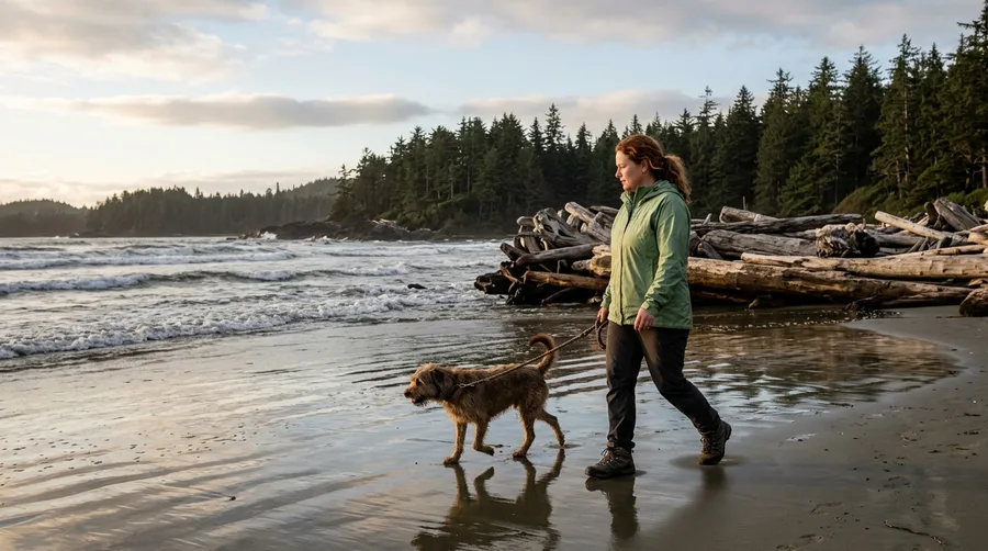
Locals walk their dogs along sandy beaches in December wearing light rain jackets while snow buries the rest of the continent.
Vancouver Island enjoys a marine climate that prevents freezing temperatures along the coast.
Skip the ski racks and pack an umbrella instead.
💡 Tip: Bring a Gore-Tex shell rather than insulated boots for winter trips to Victoria.
Canada Climate Realities
By the numbers
5. Prairie Skies Deliver Endless Sunsets
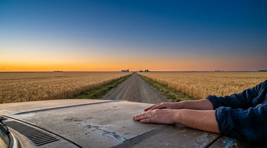
You pull your car off a grid road in Saskatchewan and sit on the hood to watch the horizon stretch forever in every direction.
The flat agricultural plains provide an uninterrupted canvas for massive prairie thunderstorms and glowing orange sunsets.
Take an hour to sit quietly and watch the light shift across the wheat fields.
Best For Prairie Stops
6. Churchill Polar Bears Share Coastal Towns
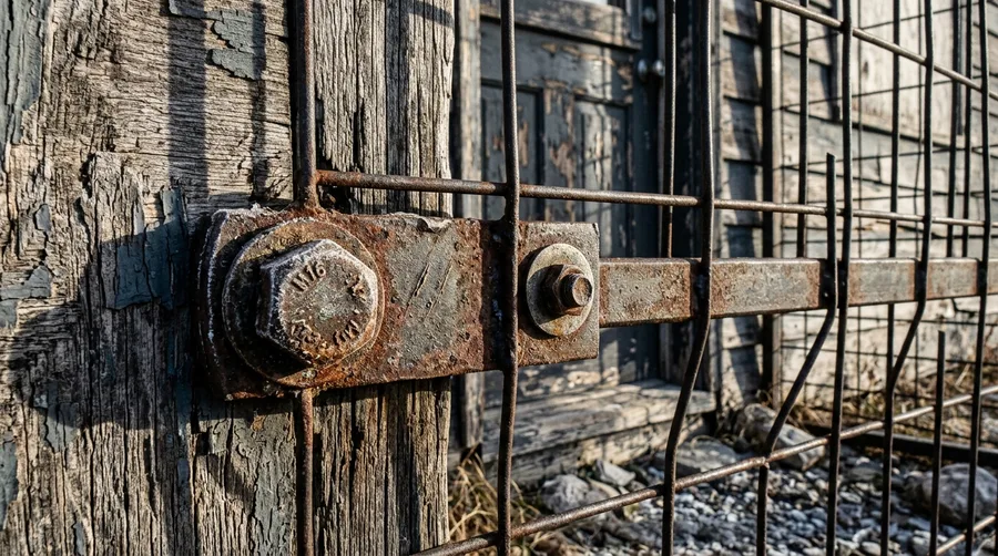
You spot a heavy wire cage bolted outside a residential front door in a northern Manitoba frontier settlement.
Locals leave their car doors unlocked in town so pedestrians can dive inside if a polar bear wanders down main street.
This frontier reality surprises travelers who expect standard suburban fencing.
💡 PRO TIP
Respect Northern Wildlife Boundaries
Always hire local armed guides when exploring remote tundra areas around Hudson Bay.
7. Atlantic Tides Dwarf Ocean Levels
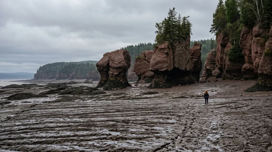
Have you ever watched a massive fishing boat rest on dry mud in the morning and float forty feet above by afternoon?
The Bay of Fundy experiences the highest tides on earth, moving billions of tons of water twice daily.
Arrive at Hopewell Rocks right at low tide to walk across the ocean floor before the water rushes back in.
Clearing Up Canadian Myths
8. Poutine Perfection Requires Fresh Curds
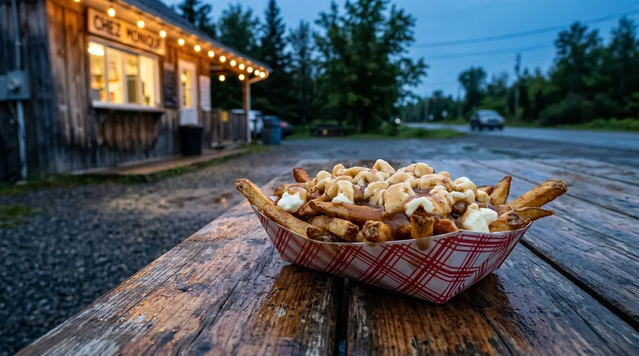
You walk up to a roadside shack in rural Quebec and order a traditional paper boat loaded with golden fries, hot gravy, and fresh cheese curds.
A proper order costs around $10 to $14 CAD and features squeaky curds that melt slightly under piping hot brown sauce.
Never accept shredded mozzarella as a substitute if you want the real culinary experience.
9. Ice Canoe Racing Tests Winter Endurance
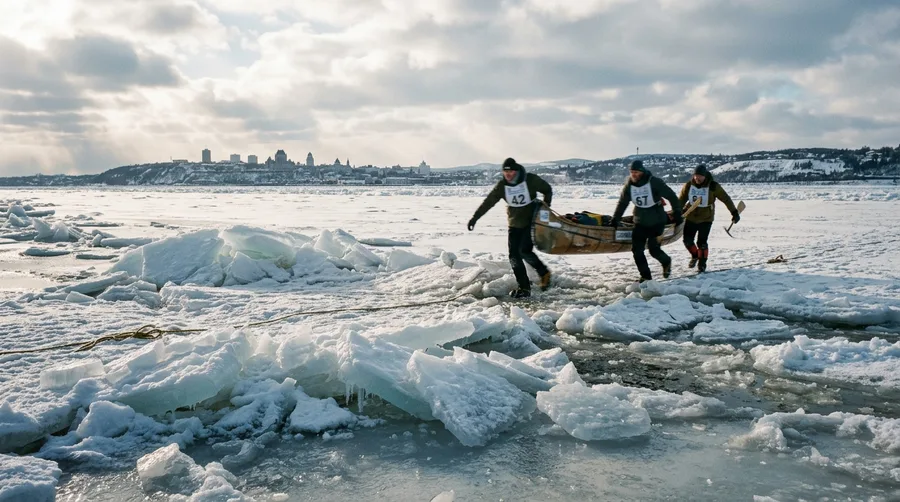
Athletes haul heavy watercraft across frozen river ice blocks and launch them into freezing swirling currents on the St. Lawrence.
You watch teams push their limits during the Quebec Winter Carnival by navigating shifting ice floes with spiked boots.
Participating in this extreme sport requires intense physical conditioning and specialized gear.
Surprising Canadian Scale
Key metrics worth knowing
10. Banff Lakes Glow Vibrant Turquoise
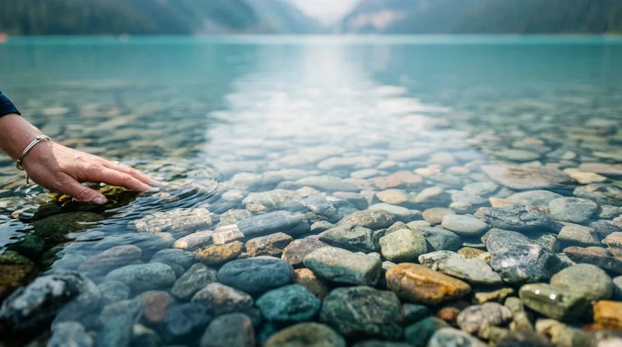
You hike up the rocky switchbacks to Lake Louise and stare down at water so intensely blue it looks like liquid glass.
Tourists crowd the shoreline during peak midday hours trying to secure the classic postcard photo.
Arrive before 7 AM to beat the tour buses and enjoy the mountain silence.
Visiting National Parks: Peak vs Off-Peak
Peak Summer Rush
- Crowded parking lots by 8 AM
- Long restaurant wait times
- High accommodation rates
- Bustling trail traffic
Early Morning Strategy
- Empty viewpoints and quiet trails
- Crisp alpine morning air
- Easy parking close to trailheads
- Perfect soft photo lighting
11. Northern Territories Experience Midnight Sun
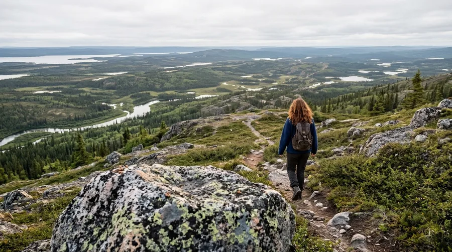
You look at your watch at midnight and realize the sun is still shining high across the Yukon sky.
Travelers struggle to sleep during peak summer months without heavy blackout curtains in their hotel rooms.
This endless daylight provides extra hours for late-night hiking adventures.
12. Peggy’s Cove Granitic Coastline
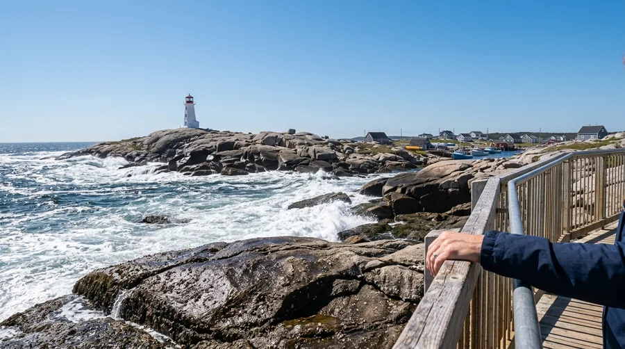
Look down at the dark granite rocks crashing against Atlantic waves before snapping a photo of the iconic Nova Scotia lighthouse.
Pay close attention to black rocks near the water because rogue waves sweep careless tourists off the ledges every season.
Stay behind the painted safety lines.
Canadian Jargon Buster
13. Pacific Rainforests Support Massive Trees
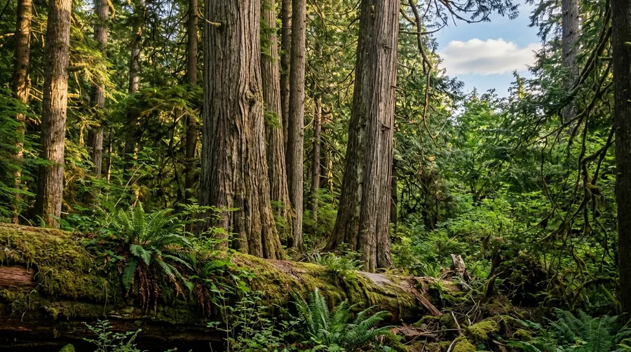
You stand beneath ancient cedar trees on Vancouver Island that measure over ten feet wide at the base.
Walking through Cathedral Grove feels like stepping onto an alien planet filled with centuries-old timber.
Bring a rain jacket because temperate rainforests earn their name through constant mist.
🚗 Typical Cross-Country Road Trip Stages
Stage One
Start in Toronto and explore the Great Lakes region.
Stage Two
Drive across the flat agricultural plains of Manitoba and Saskatchewan.
Stage Three
Climb into the rocky peaks of Banff and Jasper National Park.
Stage Four
Finish your journey among the temperate rainforests of Vancouver Island.
14. Northern Lights Dance Over Yukon Skies
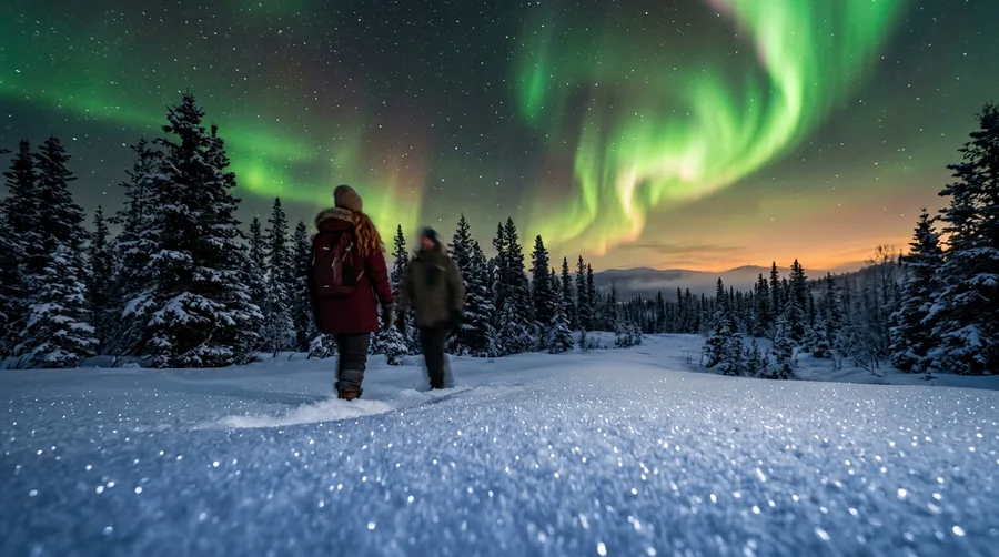
You stand shivering in the dark outside Whitehorse while vibrant green ribbons of light ripple silently overhead.
Booking a winter cabin stay costs around $200 to $350 USD per night but puts front-row aurora views right outside your door.
Wrap up in heavy wool layers and spend hours watching the night sky ignite.
Aurora Viewing Timeline
Frequently Asked Questions
Do I need a passport to visit Canada from the U.S.?
Yes, all U.S. citizens require a valid passport or passport card to cross the land or air border into Canada. Ensure your document remains valid for the duration of your stay.
Can I use U.S. cash everywhere in Canada?
While some border businesses accept U.S. cash, they usually apply a poor exchange rate. Use local Canadian currency or a credit card with no foreign transaction fees for better value.
Is driving in Canada difficult during winter?
Winter driving requires experience on snow and ice. Rental cars come equipped with winter tires in provinces like Quebec, but you must remain cautious on rural highways during storms.
What is the best month to visit the Rocky Mountains?
July and August offer the warmest weather and fully open hiking trails. However, June and September provide smaller crowds and stunning autumn foliage or blooming alpine flowers.
Do Canadians speak French outside of Quebec?
While Canada is officially bilingual, French speakers outside Quebec and parts of New Brunswick are rare. English is spoken universally across the rest of the country.
Where to Go From Here
Pick one region from this list and start planning your travel dates for the upcoming season. Grab your road atlas, book your vehicle rental, and experience the real north.
You will return home with a completely new perspective on our northern neighbor.