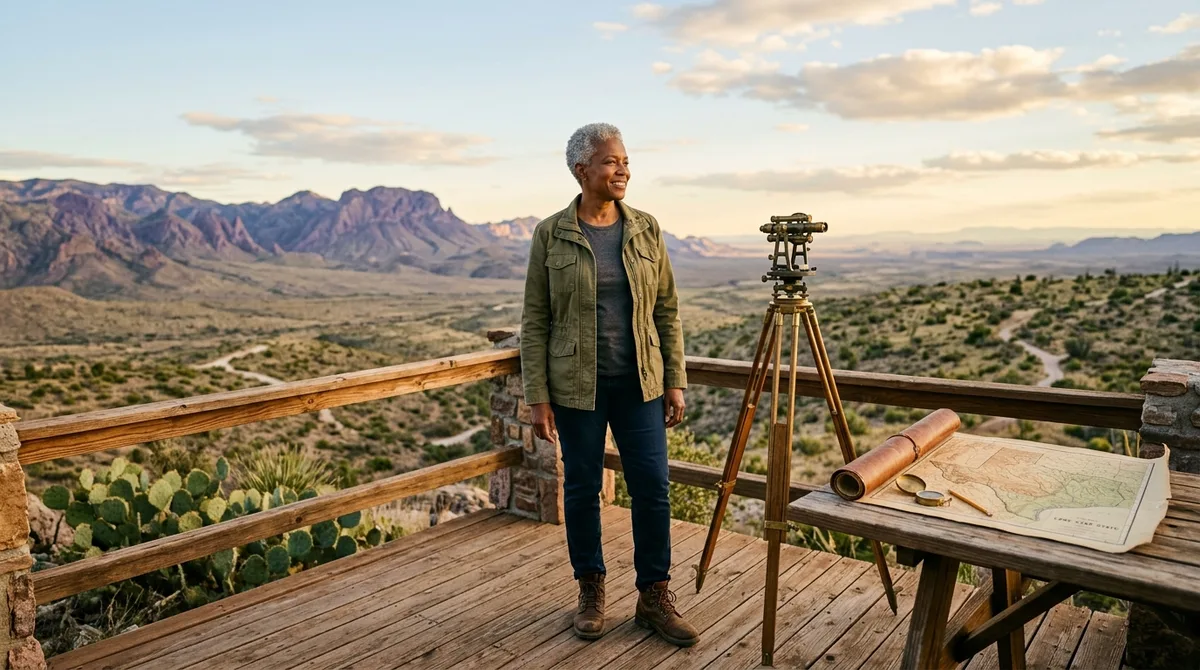
Most travelers picture flat scrubland and endless highways when they imagine the Lone Star State, but the reality is far stranger.
Attempting to grasp the sheer physical scale and ecological diversity of Texas requires throwing out every traditional assumption about regional geography.
💡 PRO TIP
Scale Check
Driving across the state from El Paso to Beaumont takes longer than driving from Chicago to New York City.
The Geography and Scale Paradoxes
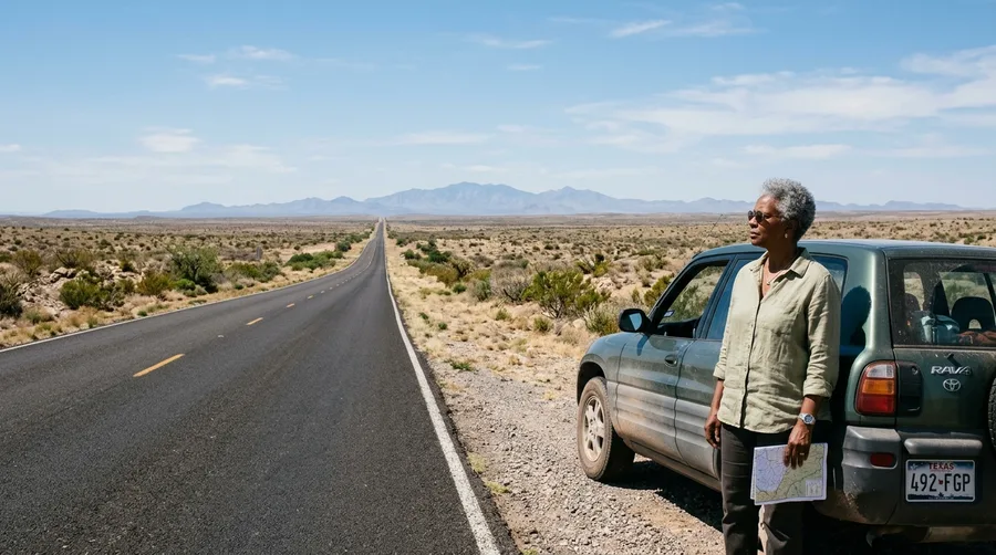
Geological anomalies define the boundaries of Texas in ways that defy conventional map-reading logic.
Understanding these massive distances changes how you plan any cross-state journey.
Here are the first five boundary-pushing facts that establish the true scale of the region.
1. El Paso Is Closer to California
Western extremities sit far west of central hubs.
El Paso rests much closer to San Diego, California, than it does to the coastal sprawl of Houston.
This lateral width means you cross multiple time zones of cultural and landscape shifts.
2. Texline Outliers
The northern Panhandle holds surprising neighbor proximity.
The small town of Texline is much closer to the state capitals of Denver and Santa Fe than it is to Austin.
3. Independent Power Grid
Infrastructure operates within a completely separate bubble.
Texas maintains its own legally recognized power grid known as ERCOT, isolated from the rest of the country.
4. Big Bend Outsizes Small States
National parks encompass entire mountain ecosystems.
Big Bend National Park covers a larger total area than the entire state of Rhode Island.
5. The Lone Natural Lake
Human intervention shaped almost every major body of water.
Caddo Lake stands as the single natural lake in the entire state, while all other major bodies are artificial reservoirs.
💡 Tip: Rent a flat-bottom canoe to navigate the ancient cypress swamp safely.
Texas Geography — At a Glance
🗺️ Total Area
268,596 sq mi
🚗 Max Width
773 miles
💧 Natural Lakes
1 major lake
Travel Reality
Cross-state transit requires treating regions as separate destinations.
Wildlife, Climate, and Ecosystem Shockers
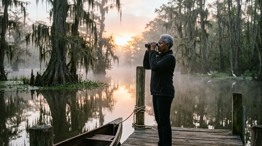
Environmental zones shift wildly from swampy eastern bayous to high-altitude western mountain ranges.
Unusual biological populations thrive across private ranches and protected caverns alike.
Let us examine the next six entries covering climate and wildlife anomalies.
6. Four Distinct Climatic Zones
Weather patterns defy single-descriptor stereotypes.
The state spans four distinct climatic zones ranging from subtropical humid to alpine desert.
7. Exotic Wildlife Populations
Private conservation efforts support massive animal numbers.
Private ranches hold more free-roaming exotic hoofed animals than exist in their native homelands.
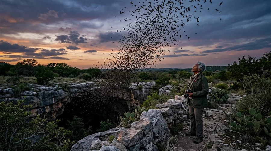
8. Bracken Cave Bat Colony
Night skies fill with millions of flying mammals.
Bracken Cave near San Antonio hosts the largest bat colony in the world with up to 20 million residents.
9. Padre Island Length
Coastal barrier formations stretch endlessly along the gulf.
Padre Island holds the record as the longest barrier island in the world at over 113 miles.
10. The Expanding Wink Sinks
Subterranean salt dissolution creates geological hazards.
The town of Wink features two massive, ever-expanding sinkholes caused by extraction and natural dissolution.
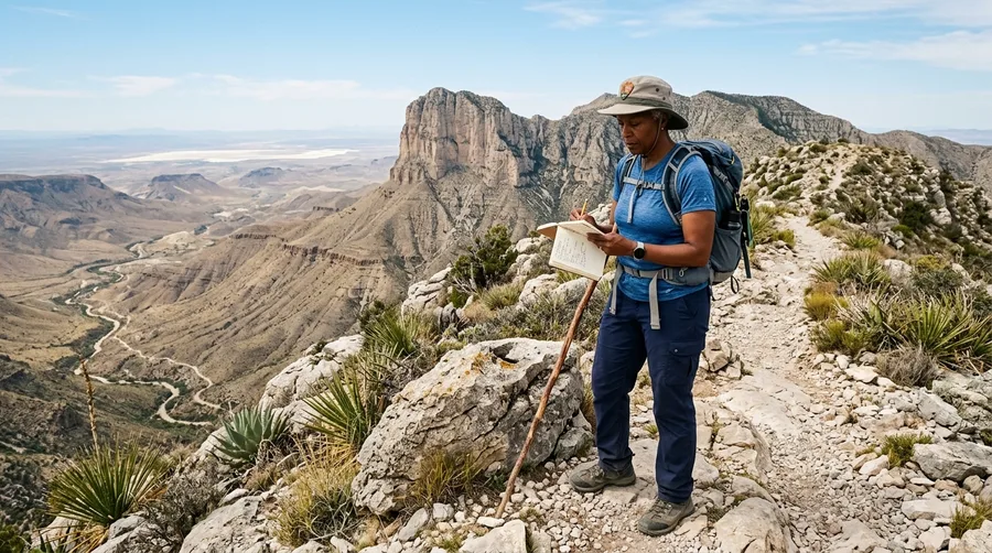
11. Guadalupe Fossilized Reef
Ancient oceans left permanent marks on high desert peaks.
The Guadalupe Mountains preserve remnants of a massive 260-million-year-old fossilized reef system.
Staggering Wildlife and Scale Stats
The numbers behind Texas biodiversity
History, Law, and Cultural Anomalies
Legal peculiarities and historic milestones set this region apart from every other U.S. territory.
State sovereignty roots run deep in official agreements and towering architecture.
The final seven facts reveal the legal and cultural quirks of the territory.
12. The Five-State Division Right
Annexation agreements carried unique legal privileges.
Texas holds the legal right to divide itself into up to five separate states without congressional approval.
13. King Ranch Scale
Agricultural empires span across multiple county lines.
The historic King Ranch operates on a land area larger than the state of Rhode Island.
14. Taller Than the U.S. Capitol
Statehouse architecture outstrips federal standards.
The pink granite Texas State Capitol building in Austin stands taller than the U.S. Capitol in Washington, D.C.
15. The Borger Oil Boomtown
Sudden wealth created instant frontier settlements.
The town of Borger materialized overnight in 1926 following a massive oil discovery.
16. San Jacinto Monument Height
Independence battle sites boast towering tributes.
The San Jacinto Monument rises higher than the Washington Monument to commemorate the 1836 victory.
17. The Unexplained Marfa Lights
Desert night skies puzzle local scientists and visitors.
Travelers in Marfa routinely witness mysterious optical phenomena known as the Marfa Lights.
18. An Internationally Recognized Republic
Sovereign history preceded entry into the federal union.
Texas operated as an independent republic with foreign embassies in London and Paris from 1836 to 1845.
⚠️ COMMON MISTAKE
Planning Trap
Do not attempt to visit multiple distant regions like Big Bend and Caddo Lake in a single weekend trip.
The Geography Consensus and Travel Reality Check
Tectonic shifts and ancient marine basins explain why these extreme environments converged in one territory.
Attempting to see the entire state in a single week creates impossible driving schedules.
Cluster your itineraries by specific geographic sub-regions to enjoy the journey.
Cross-State Travel Approaches
What Works
- Focusing on one sub-region per trip
- Renting high-clearance vehicles for remote parks
- Checking seasonal desert temperature shifts
What Fails
- Trying to drive east-to-west in one day
- Underestimating West Texas summer heat
- Assuming all natural spaces are public land
Frequently Asked Questions
How long does it actually take to drive across Texas?
Driving straight across from Orange to El Paso takes roughly 12 hours of highway time without stops.
What is the best time of year to visit West Texas?
Plan your desert trips between October and April to avoid dangerous summer heat waves.
Are all natural attractions in Texas publicly owned?
Most acreage is private ranch property, so visitors must stick strictly to designated state and national parks.
Can you visit the Marfa Lights viewing station year-round?
Yes, the official roadside viewing platform outside Marfa remains open to the public every night.
What is the most ecologically diverse region in the state?
The Edwards Plateau and Hill Country intersection hosts a rich mix of springs, canyons, and native species.
Mastering Your Next Regional Route
Recognizing the true geographic scale of Texas transforms how you budget time and fuel for your road trips.
Pick one distinct sub-region for your next getaway and explore its local anomalies properly.